TORS OF DARTMOOR EXTRA
a collection of extra material from the tors of dartmoor team
Dartmoor Discovered: Lesser-Known Rock BasinsTim Jenkinson and Max Piper on 8 September 2024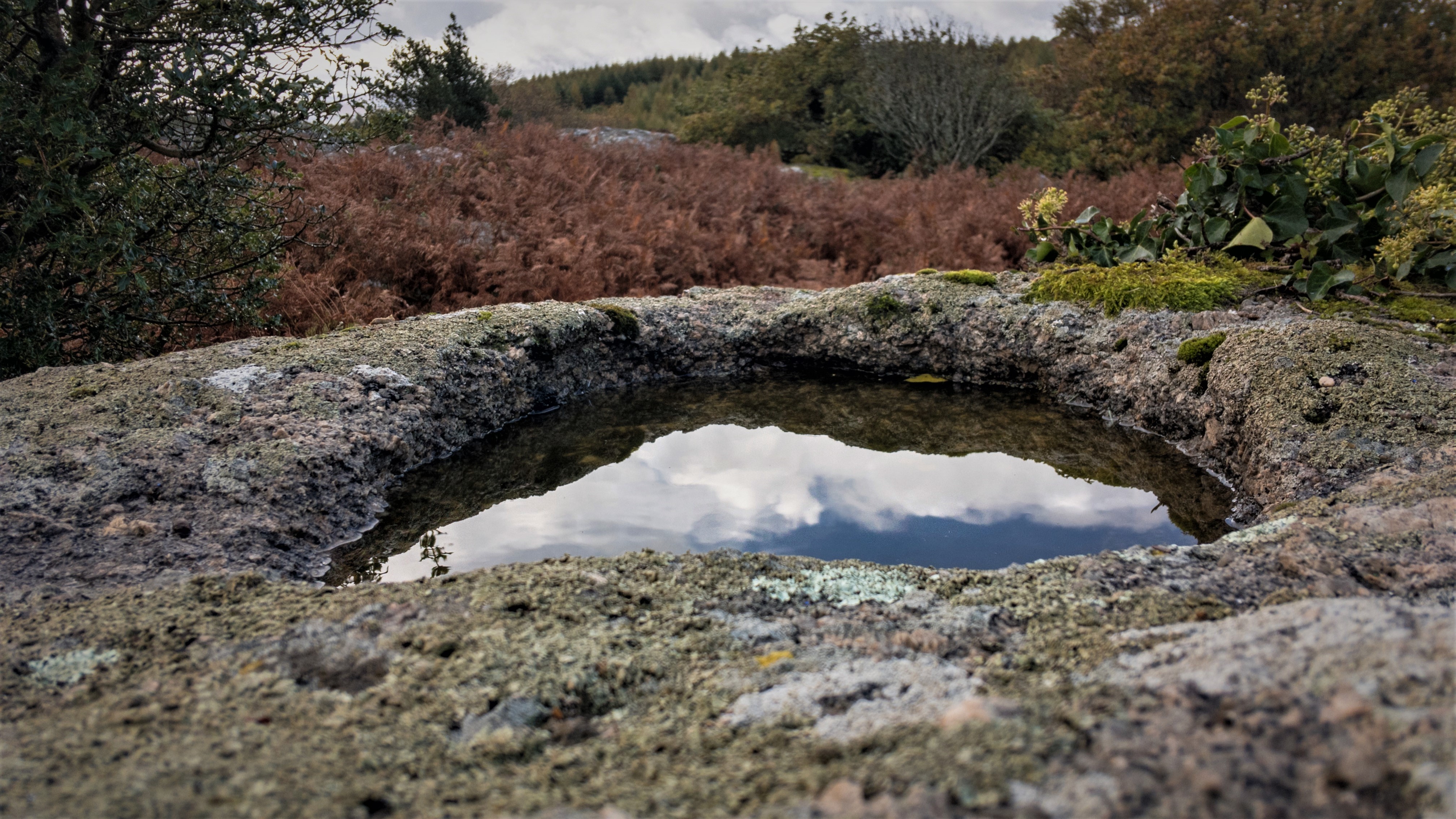 Pin Tor Rock Basin An edited version of this article appeared in Dartmoor Magazine - Winter 2020 Issue 140Much has been written in the early literature of the moor regarding the weathering effect on some of the tors that produces curious depressions in the granite that are collectively known as rock basins. Whilst as the name implies many are found to be circular in shape others depending on the weathering effects are oval or assume an irregular appearance. The phenomenon has fascinated a succession of commentators, particularly from the 19th Century including Mrs E Bray (1825) and GW Ormerod (1859) the latter producing an extensive catalogue of the many he had found. However, Richard Horsham (2011) suggests that since the 1960s and 70s rock basins as a topic have virtually disappeared from the literature although some credit was given to their appearance by Tim Jenkinson in Dartmoor Magazine as recently as 2002. Whilst the most impressive excavations such as those atop the outcrops of Kes, Great Mis, Gutter and Bag Tors have quite rightly received the most attention, there are many other examples of how the granite has yielded to centuries of exposure to wind and rain. This article examines a selection of what we have dubbed the lesser known rock basins, those that have largely escaped the scrutiny of previous commentators. Twidale and Bourne (2018) explain that rock basins 'are relatively small hollows excavated in cohesive rock' and writing much earlier we learn more of the process from Richard Hansford Worth (1953) who advises that within the granite a 'weak feldspar crystal is split along its cleavages by frost, its fragments are loosed and later removed by the wind and there is left a small hollow in which water may lodge.' The two most common types are known as pits and pans the former created as a hemispherical hollow by standing water, the latter presenting as a shallow flat floored basin described as a destructional or erosional form that is shaped in cohesive rock (Twidale and Bourne 2018). Some rock basins develop distinctive lips or channels in the granite where the water has worn through to form a route of escape. Arms Tor SX 5416 8624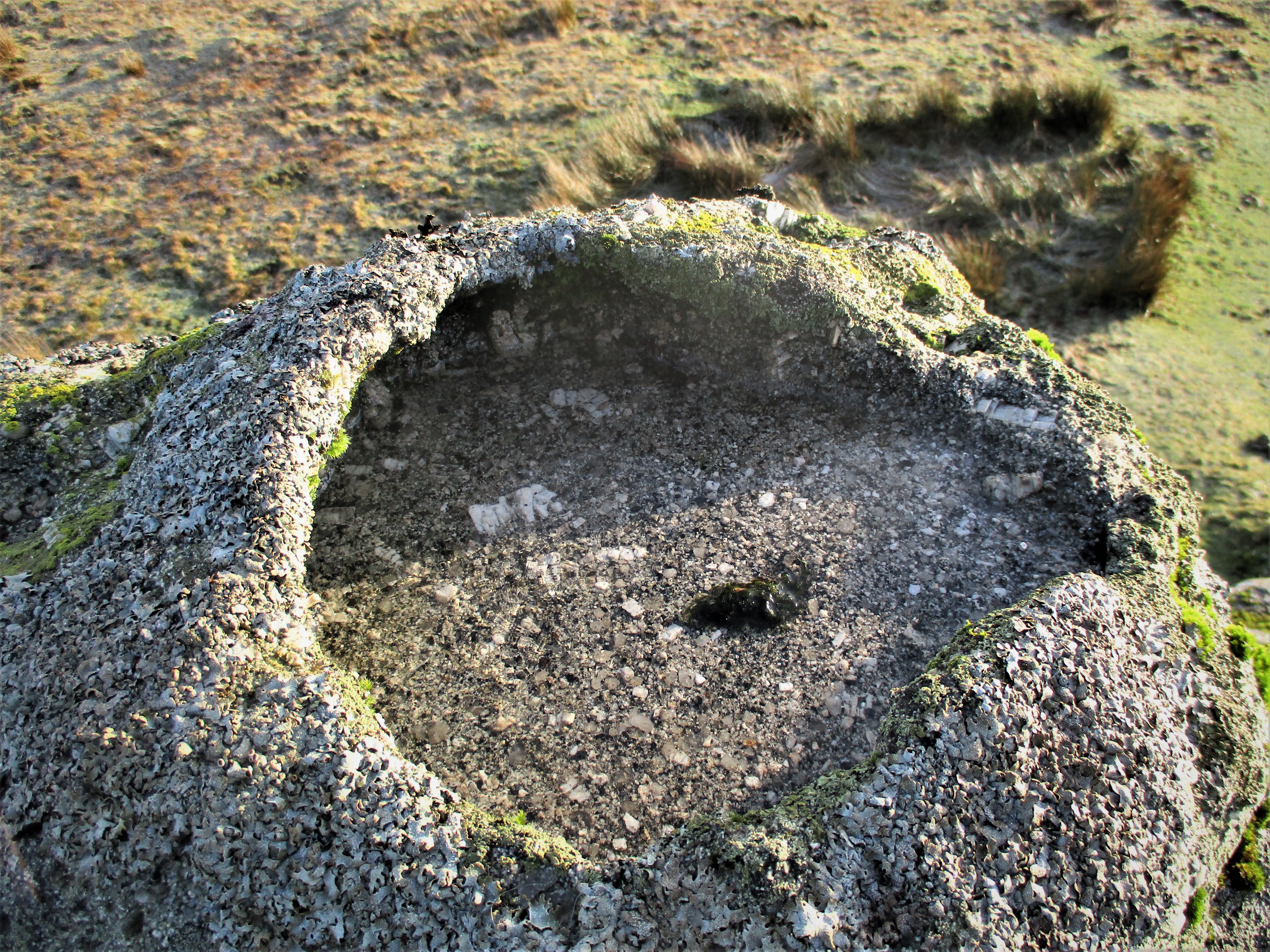 Arms Tor Although this small rock basin has been noted many times by authors, it is nonetheless an interesting specimen. It can be found on the highest part of the tor and is mainly circular but is quite unusual in appearance as it resembles a small funnel when viewed from above. It measures some 30 centimetres (cms) in length and is about 25 cms wide with a depth of approximately 8 cms. Its distinctive form is captured in a sketch by George Thurlow (1993) on page 43 of his Dartmoor Companion. Bearacleave Tors SX 8159 7962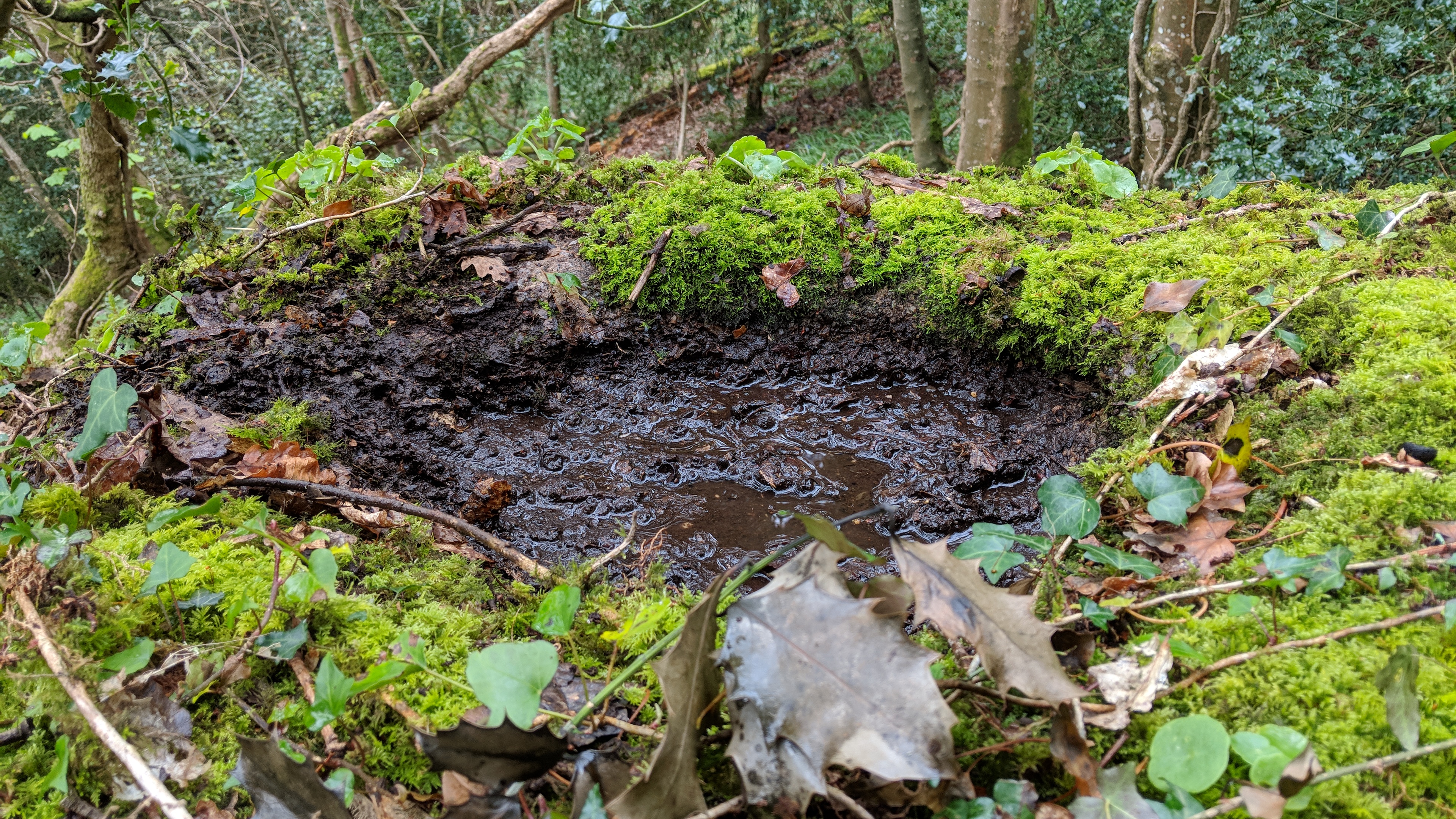 Bearacleave Tors The hidden tors of Bearacleave lie about a mile to the north of Bovey Tracey on the very edge of the National Park high up and to the east of the A382. The rock masses here rarely feature in the literature which is surprising given the enormity of the outcrops that sprawl through the trees. On one of the rocks amid the Middle Tor there is a near perfect circular depression that is close to 3 cms deep. Formed over centuries of weathering long before the trees were planted, the basin is constantly full of dead leaves, twigs and stagnant water, but is still a striking example and certainly very lesser known. It was discovered by Max Piper on one of his visits to the Cleave in April 2019. Blackingstone Rock SX 7864 8559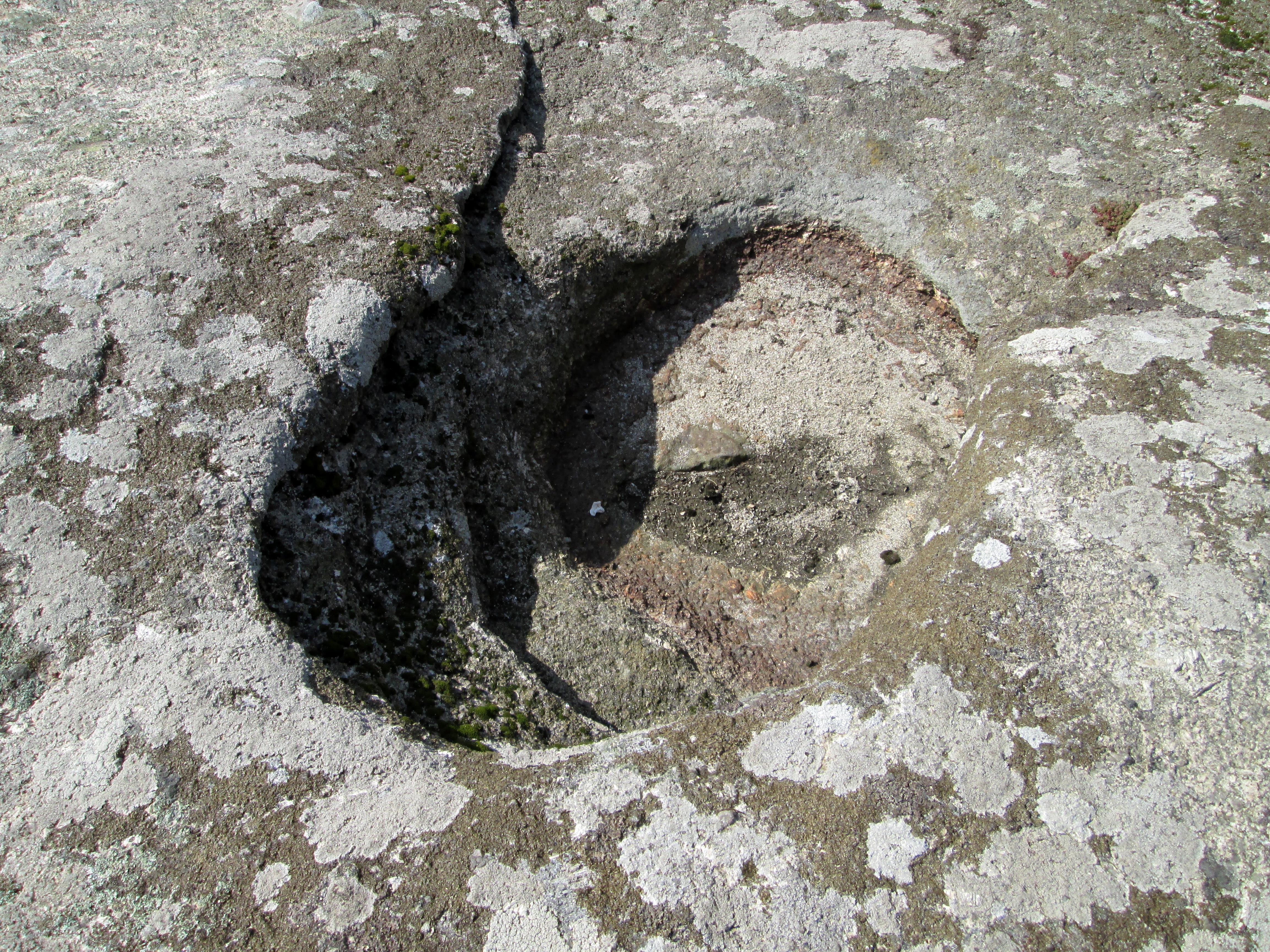 Blackingstone Rock Whilst the neighbouring rocks of Hel Tor on East Dartmoor have received considerable attention from the likes of Ormerod (1859) and much more recently by Horsham (2011) regarding the impressive rock basins atop and those dividing through the granite, in comparison the sentinel of Blackingstone Rock has been largely overlooked. This huge granite eminence that is visible from various viewpoints on this side of the moor has numerous depressions (at least ten) that have formed on its flattened top surface. Granite steps with railings beside have been cut into the east side of the Rock from decades ago and these need to be ascended in order to examine the basins one of which has curious ridges in its upper edge. However, be warned whilst the views from the top are exhilarating and the rock basins fascinating, the ascent and descent down the narrow staircase is not for the faint hearted. Chinkwell Tor SX 7299 7803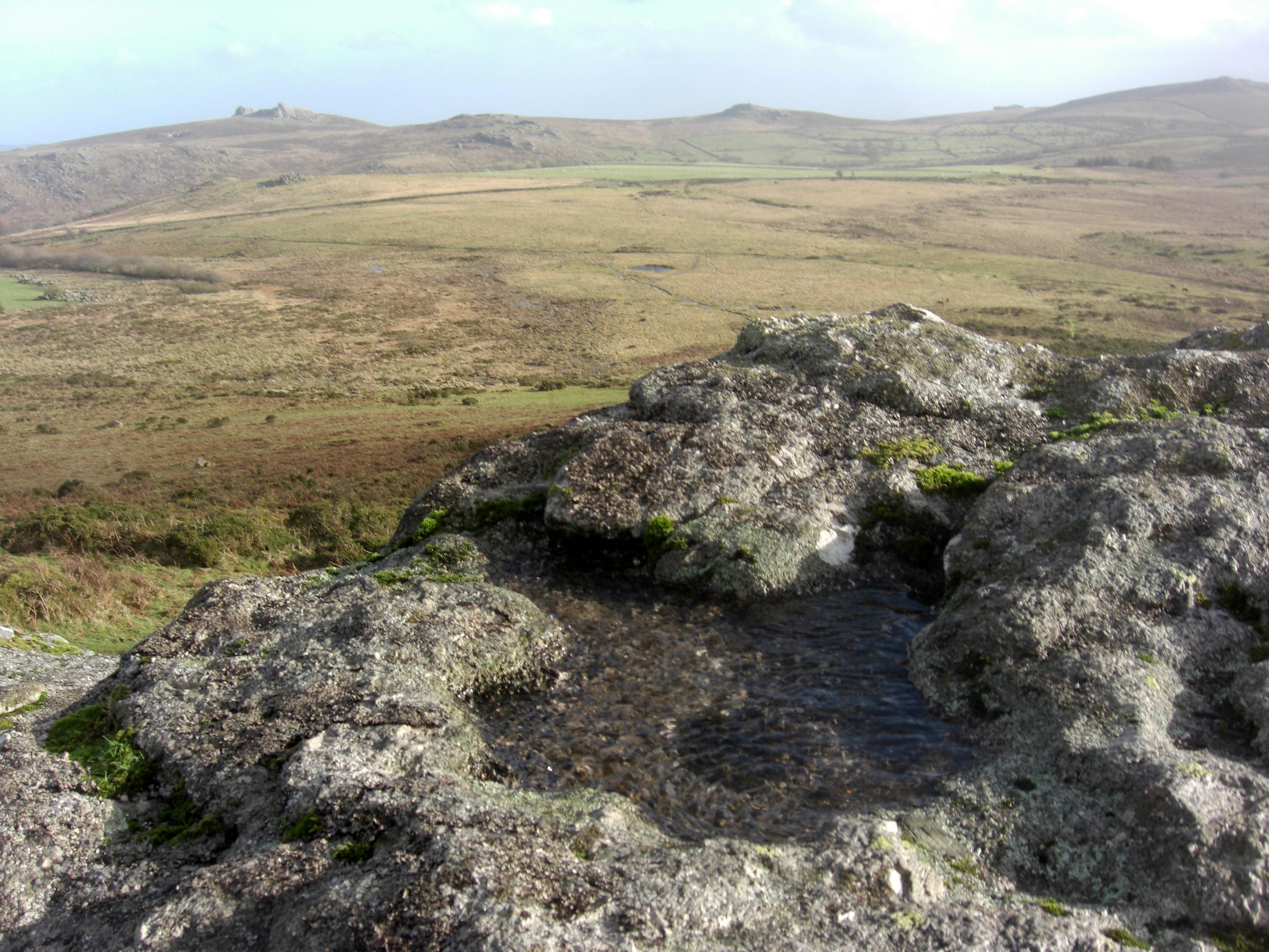 Chinkwell Tor A somewhat irregular rock basin with uneven edges rather like a piece of a jigsaw, has formed on the upper surface of the southern-most outcrop of the tor. It measures approximately 78 cms by 70 cms and is some 5 cms deep. Despite its unusual shape it still traps rainwater. Easily overlooked when walking to the north here, it is well worth a visit on the way to the higher outcrops ahead. It was first noted by Tim Jenkinson in January 2013. Combestone Tor SX 6702 7185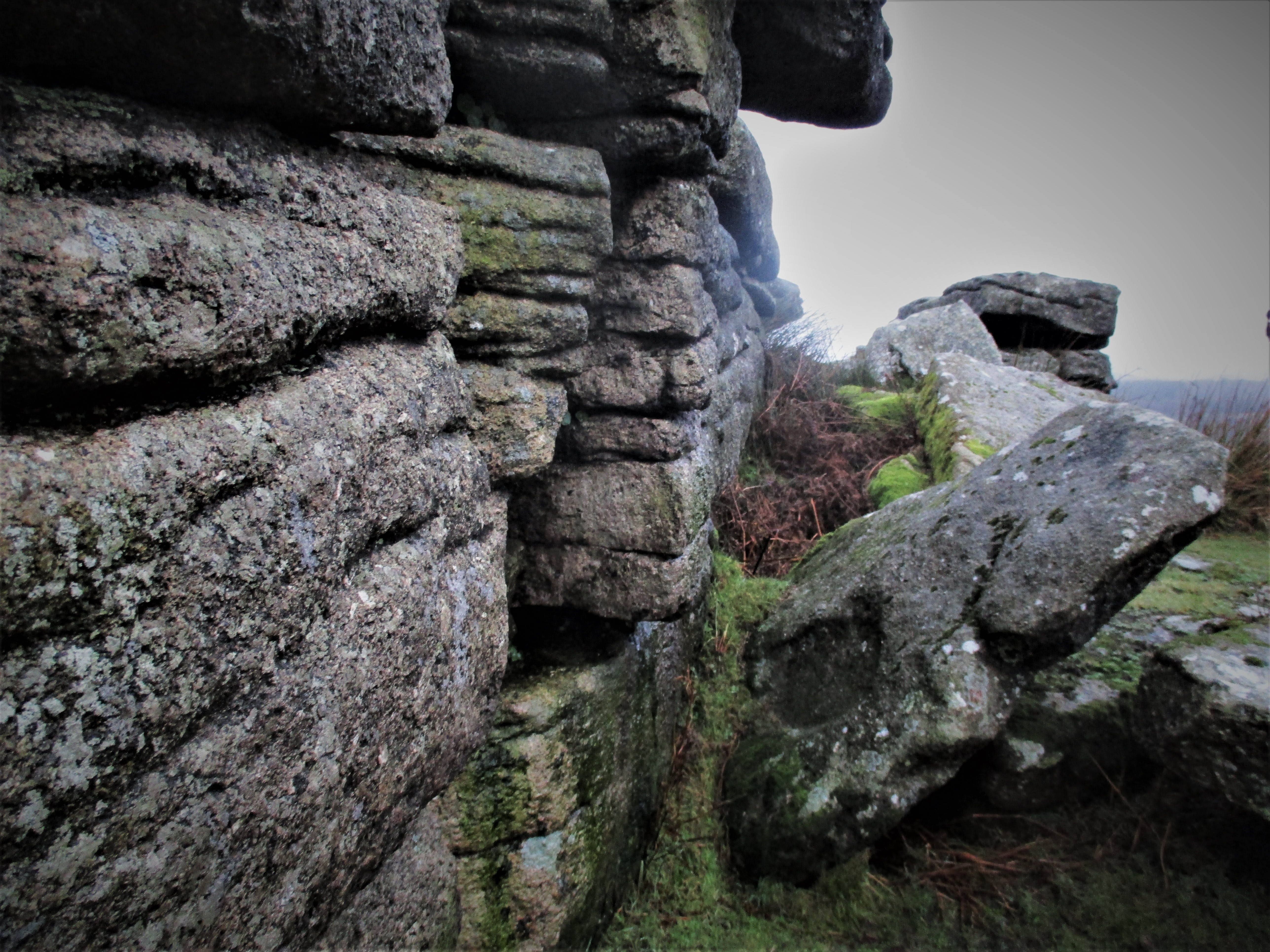 Combestone Tor Whilst there are numerous rock basins on top of the blocks of Combestone Tor as marked on Ordnance Survey Maps, most are difficult to examine. However there are at least two that can be seen on fallen rocks one on the east side of the main pile measuring 57 cms in length by 53 cms width with an approximate depth of 10 cms and another smaller one amid the main rocks reaching 37 cms in length by 35 cms width and 11.5 cms deep. This latter one also features in Thurlow's (1993) Dartmoor Companion on page 36. Cripdon Down SX 7320 8043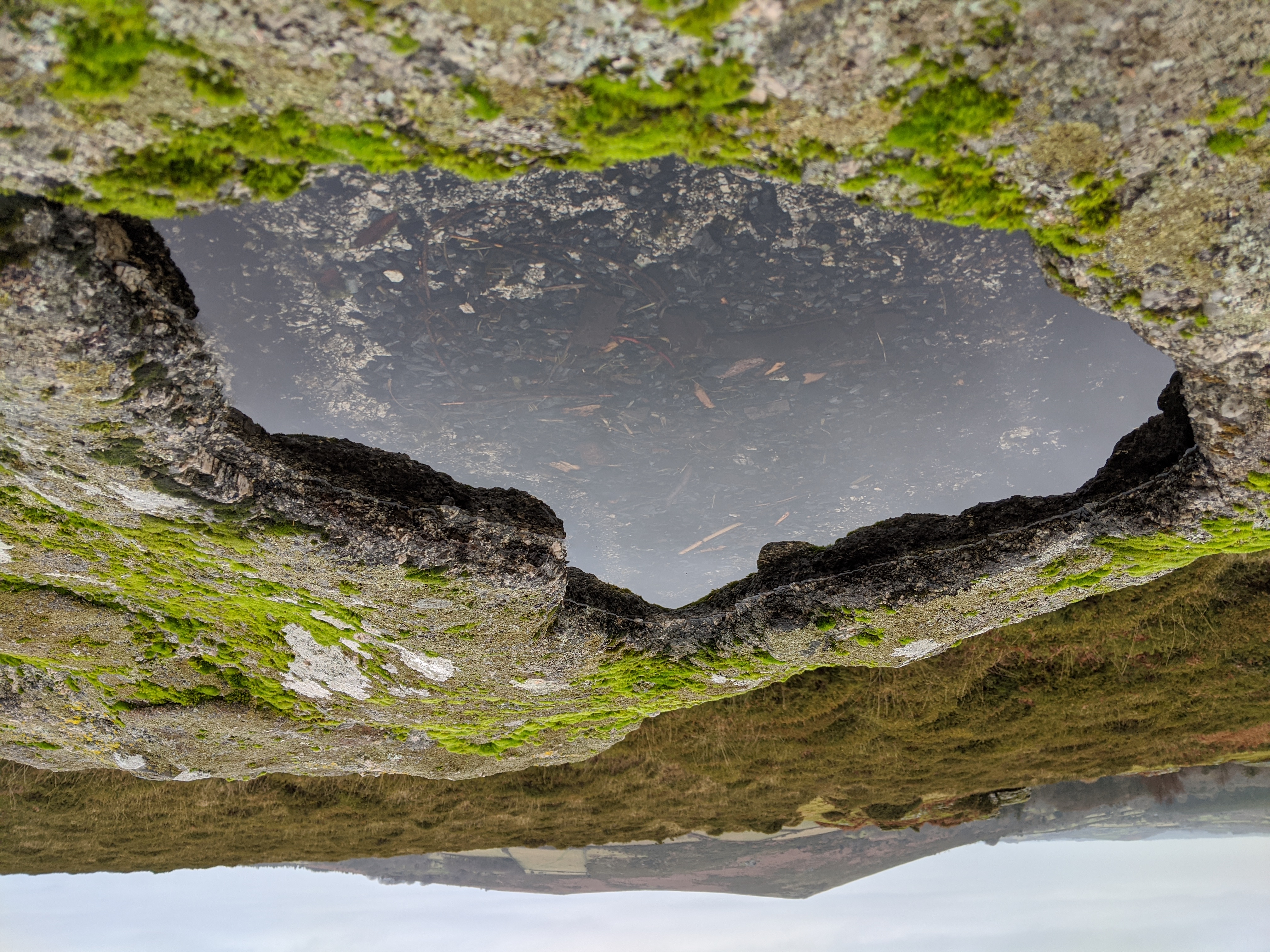 Cripdon Down A superb rock basin has formed on the upper surface of the south outcrop of the rock piles of Cripdon Down, this being the first one that is visible from the road below on the right when coming from Jay's Grave to Heatree. It is entirely possible that Ormerod (1859) first noted the phenomenon here and recorded it in his catalogue under the name of Cribbern Tor describing it as 'irregular'. Once again as with all good-sized basins it traps water. There are three other examples on the same outcrop two of which are miniscule. Littaford Tors SX 6157 7715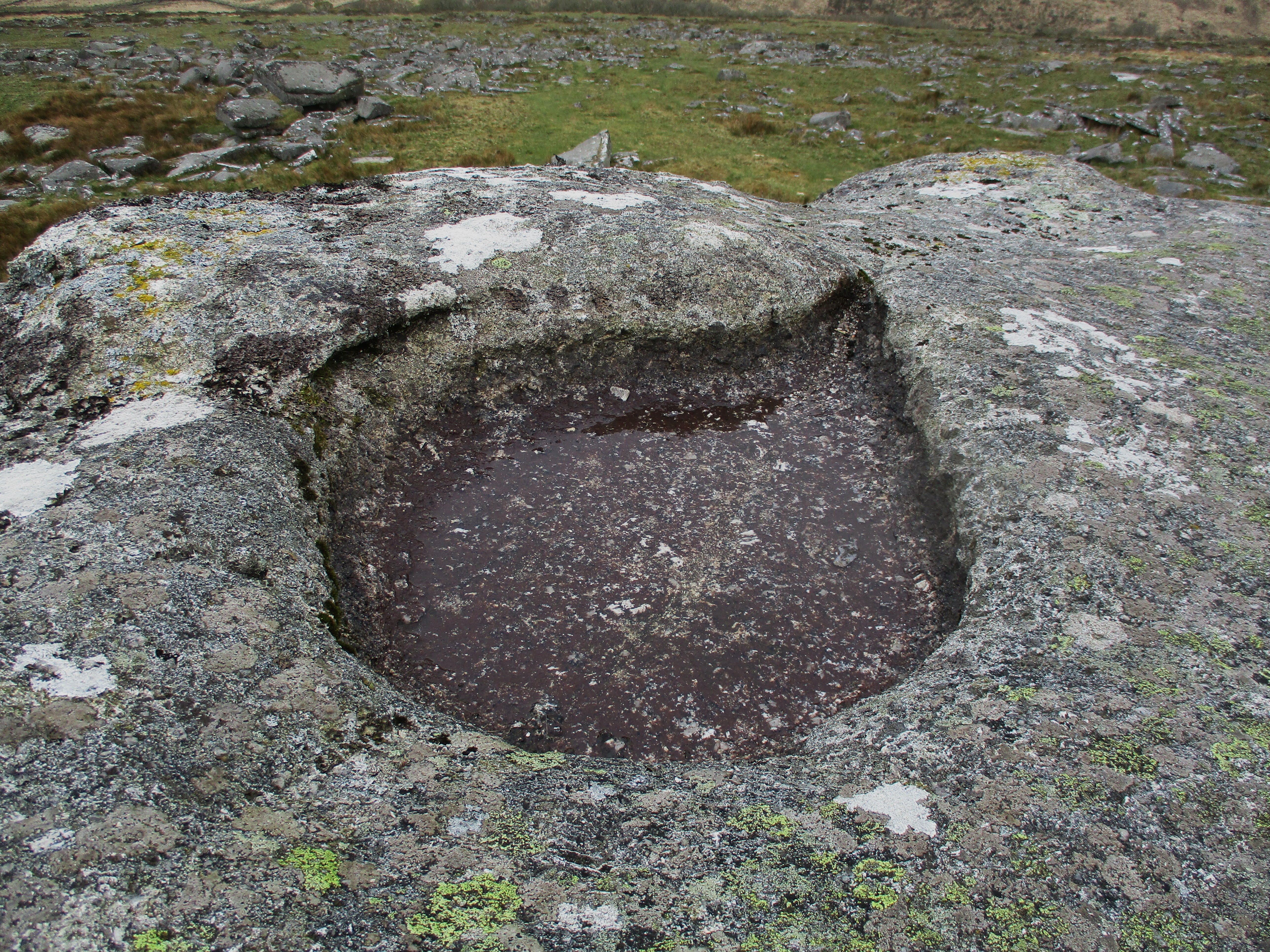 Littaford Tor This impressive basin on the highest part of Littaford Tors receives a mention from Lloyd Warden Page (1895 p162) and then we get more detail from Worth (1953 p30) who explains that it was first noted by Bray in 1802 with its shape described as a 'rude oval' and 'terminating in a point or lip'. We learn that 'if a basin has a lip or channel by which it is partially drained, that channel is always developed along the trace of a vertical joint.' The views from the top of the tor are exceptional along West Dart especially towards Beardown Tors. Little Staple Tor SX 5387 7538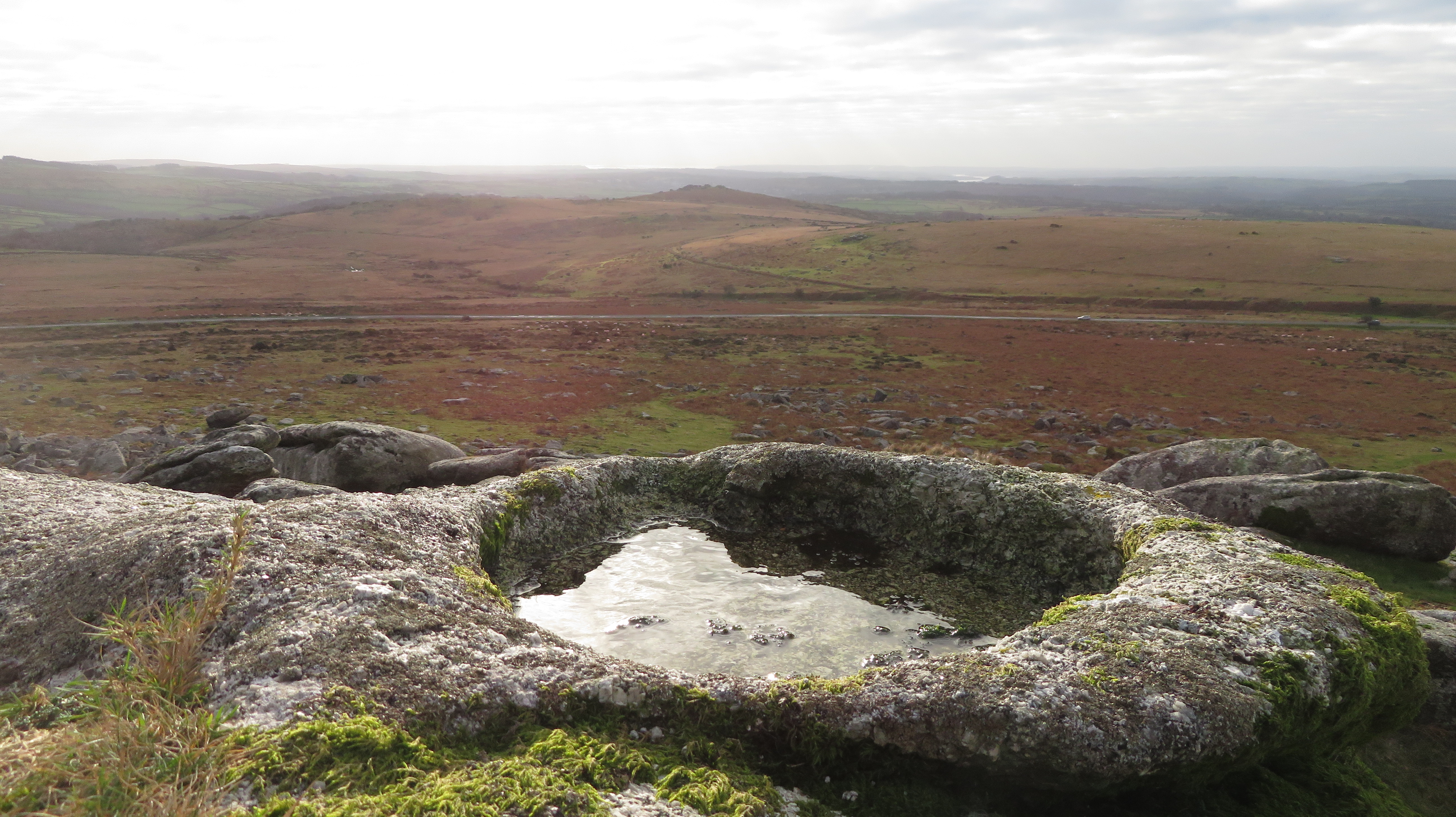 Little Staple Tor Again, briefly mentioned by Lloyd Warden Page (1895 page 121), there is a splendid rock basin on the summit rock of Little Staple Tor. Generally oval in shape with a flat bottom, it regularly traps a pool of rainwater that can be seen to ripple in a breeze. Strangely overlooked by most commentators of the moor, it is one of the easier basins to access, with just a short walk from the car park below. It is a good example of the pan type phenomenon with a depth of around 10 cms. Pinmoor Rocks SX 7561 8877Pin Tor Rock Basin Cited by the name of Pinmoor Rocks by the Institute of Geological Sciences in 1968, this is a prominent granite tor set approximately 275 metres E.N.E. of the better known Willingstone Rock on the far eastern side of the moor. A magnificent rock basin can be found atop the summit rocks which has not been documented in the literature before, it is a very large example, almost a perfect circle with a deep lip and was first espied by Max Piper in October 2017. River Erme SX 6361 5753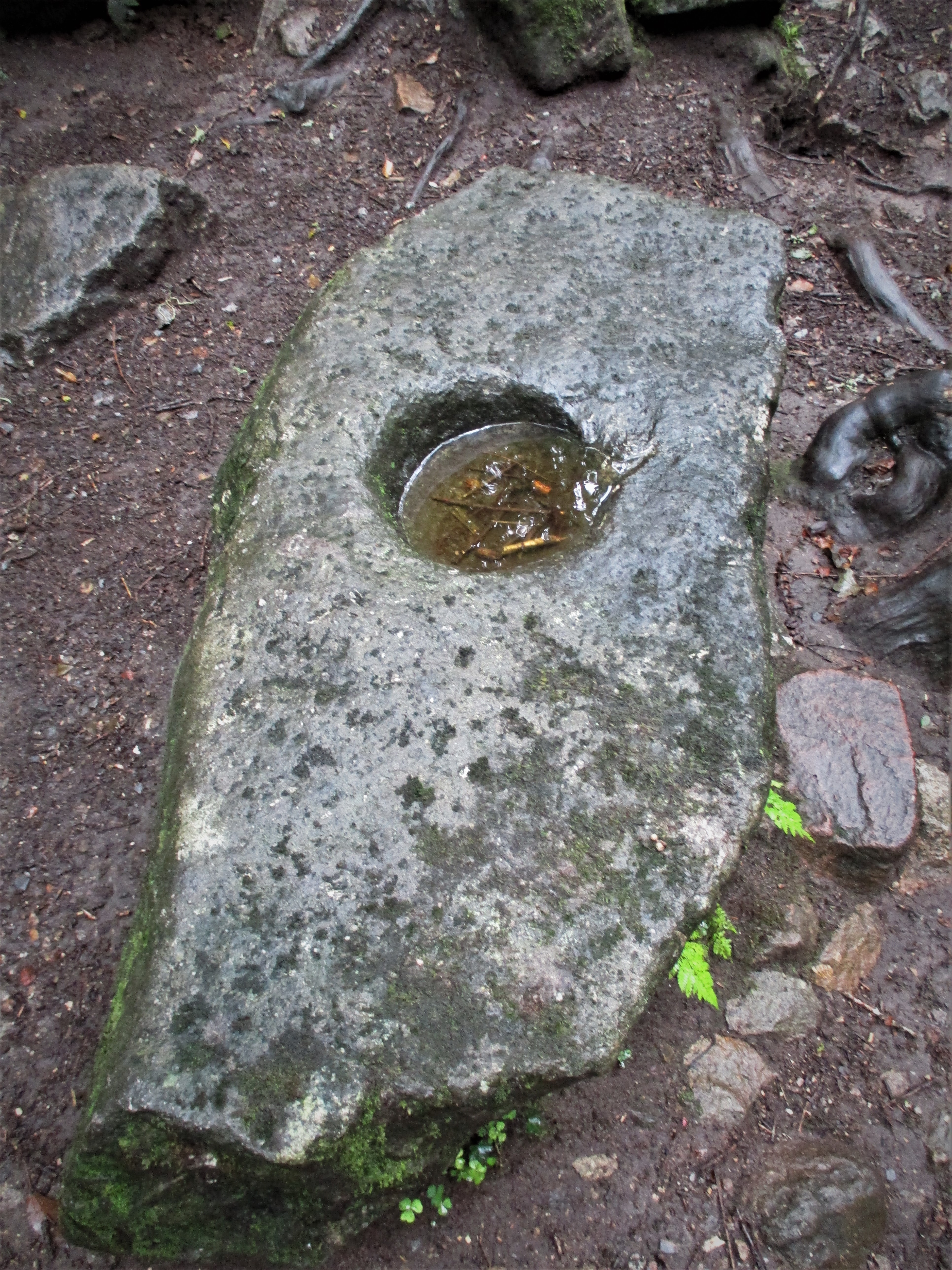 Treneman's Basin, River Erme Known locally as 'Treneman's Basin', this most unusual artefact is often referred to as a mortar stone and is therefore suspected to be a man-made example. It lies on the west bank of the River Erme about half a mile to the north of the railway viaduct at Ivybridge in Longtimber Wood. Its near perfect circular depression etched into an oblong block of granite has started to form a small lip on its eastern edge and it is nearly always full of water. The basin measures a good 28 cms by 28 cms with a depth of some 7 cms. It seems that Tom Treneman features in a poem entitled 'A Legend' by an unknown author that is cited in the Book of Ivybridge (2009) by Ivor Martin but it is unclear as to what his connection to the stone might be. The study and discovery of rock basins on Dartmoor is a fascinating pastime that has intrigued numerous commentators for close on two hundred years. Debates about their probable use and mysterious formation abound. This short article has highlighted a selection of some of the lesser known examples that can be found with a little perseverance, with no doubt many others still to be located. Max Piper and Tim Jenkinson (2020)References:
|