TORS OF DARTMOOR EXTRA
a collection of extra material from the tors of dartmoor team
Dartmoor Discovered: The Rock Piles of Easdon Hill and DownTim Jenkinson on 28 November 2024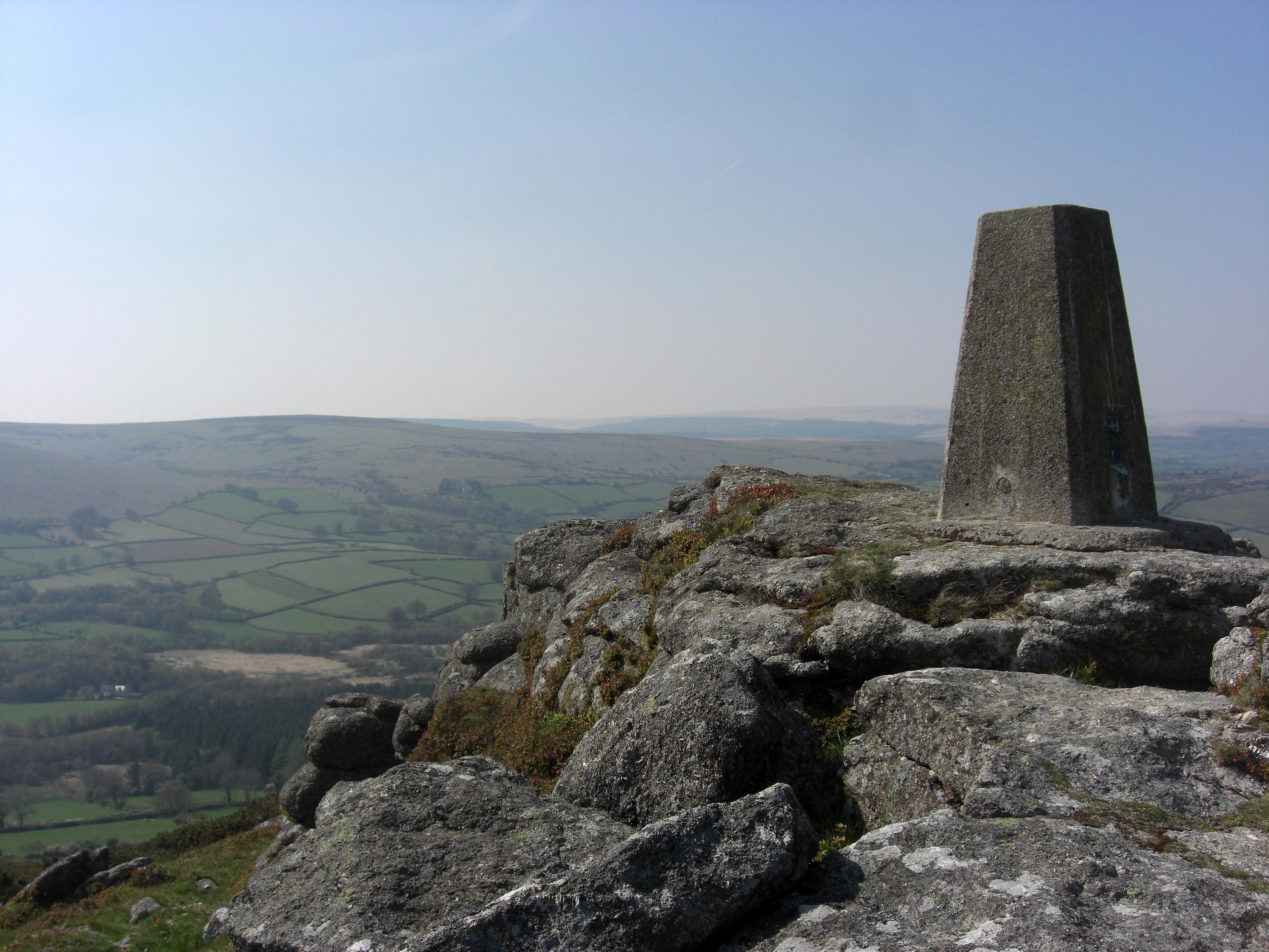 Easdon Trig Pillar An edited version of this article appeared in Dartmoor Magazine - Autumn 2022, Issue 147.Together Easdon Hill and Down form one of the most conspicuous landmarks of the south-eastern quarter of the National Park dominating the scene from both the south and north with its distinctive shape and elevation at 439 metres above sea level. Described by William Crossing in 1912 as a 'fine eminence' the Down on its north side forms part of the boundary between the villages of North Bovey to the northeast and Manaton to the southeast and a series of boundary stones inscribed with a simple 'B' can still be seen, although many are now hidden in bracken and gorse and are quite difficult to find. There are two main access points to the Down on foot from the lane above Barracott to the south and from the east at Luckdon. 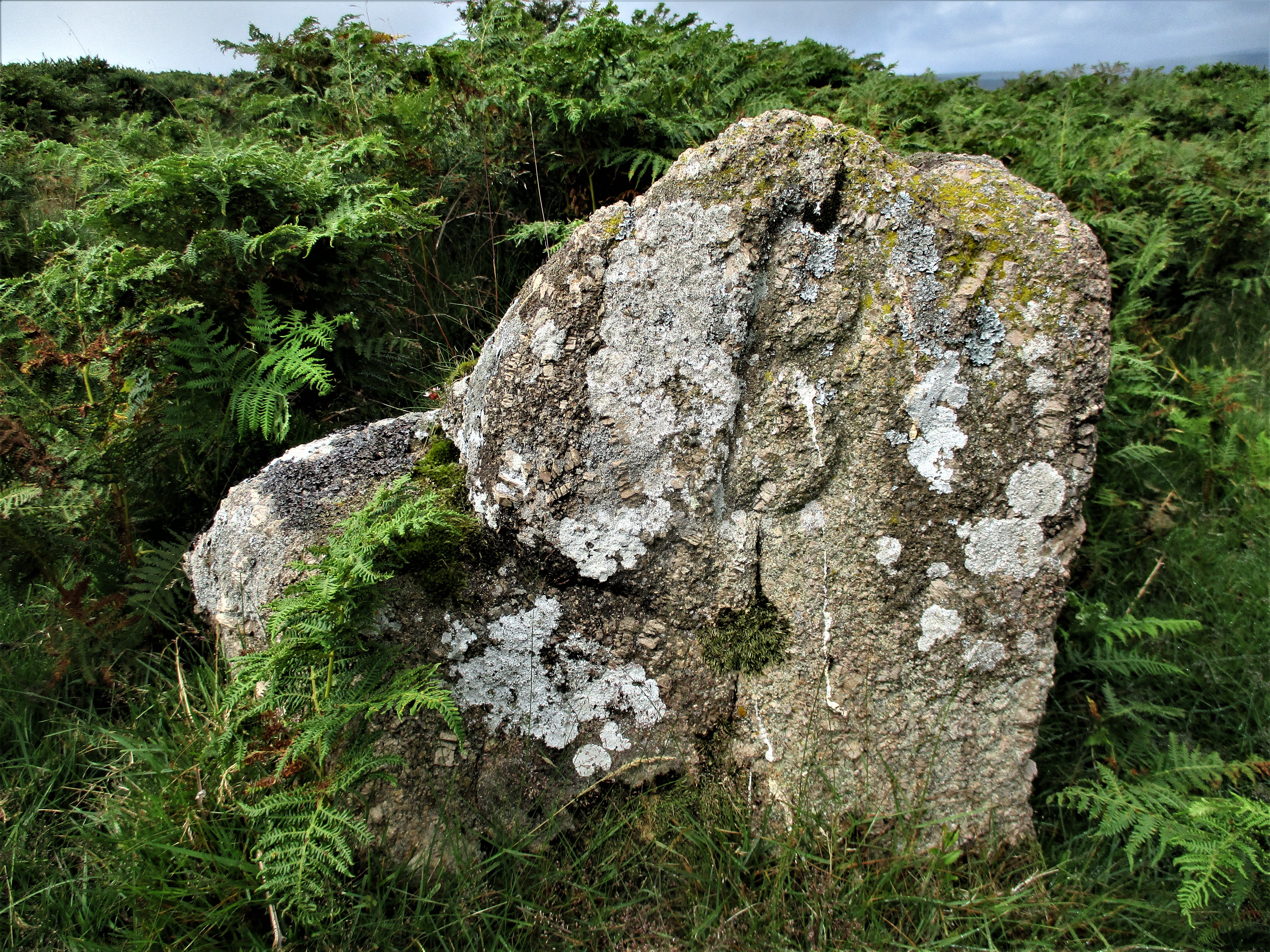 Easdon Boundary Rock In 1848 Samuel Rowe described the Down as being 'plentifully strewn with masses of the natural rock' and despite the good number of rock piles that can be found here the Ordnance Survey (OS) representation of the area is disappointing to say the least and as references in the literature are as equally sparse, this has led to the Down being somewhat overlooked. This short article will attempt to redress the balance with descriptions of no less than nine separate rock clusters. Langdon Rocks SX 7288 8269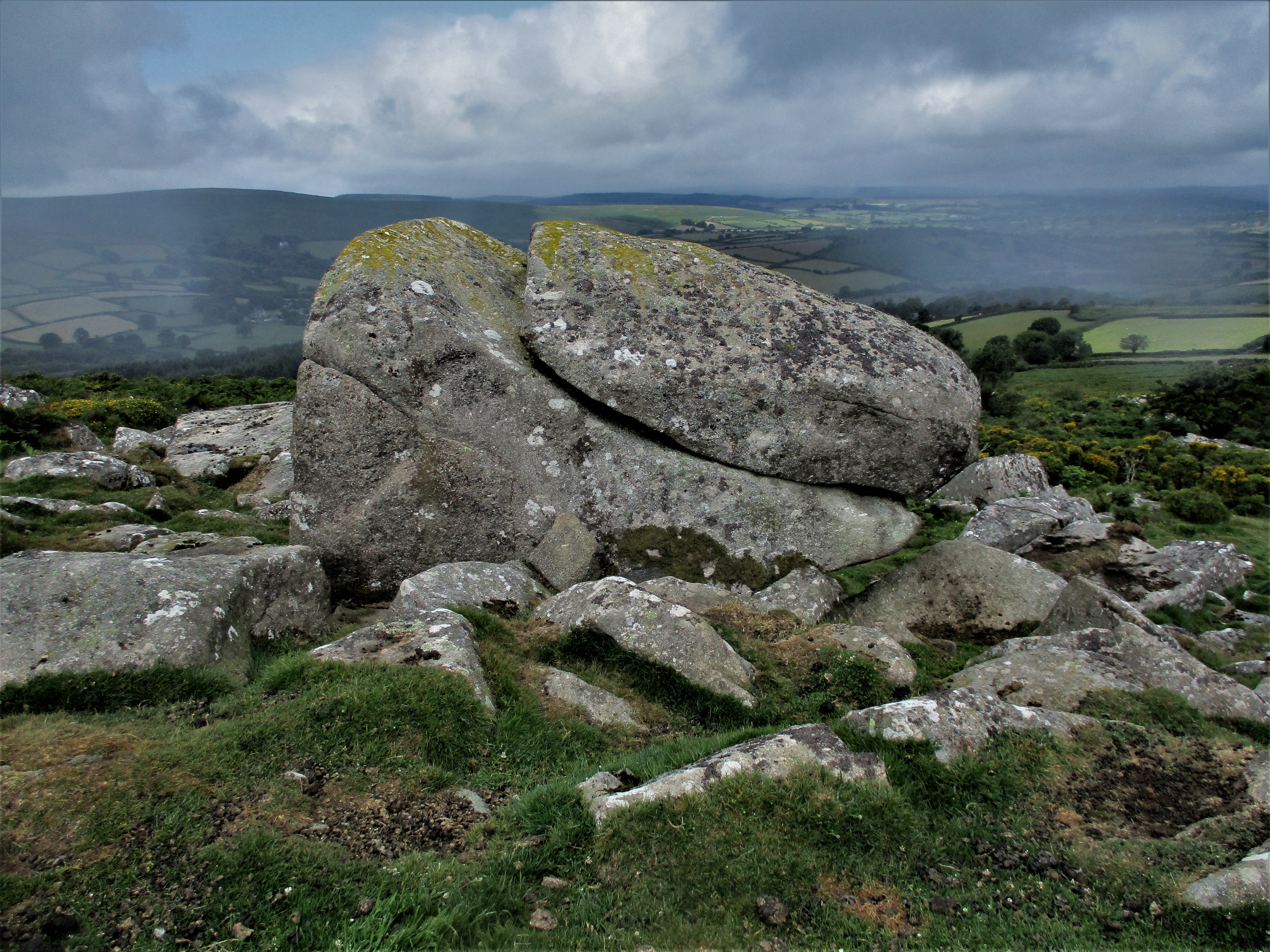 Langdon Rocks A small pile first noted and described by Max Piper in June 2018 these rocks can be found some way to the north of the summit of Easdon Tor on the slope above Langdon Farm and are visible from there but having crossed the boundary they reside within the parish of North Bovey. There is evidence of a ruined tor here with two huge boulders forming the uppermost part that from beneath looks quite impressive. More of the tor's clitter sprawls through the gorse below. Views are concentrated mainly to the west and north where the bulk of Cosdon Hill is seen. Easdon Tor SX 7295 8231 Easdon Tor This is the summit pile of the Down that is marked on maps, but it is quite a lowly tor in terms of its granite that is strewn mostly on the north and west side. It is possibly better known for its OS triangulation point, from which there are some spectacular views to enjoy. Indeed, the visitor's attention is almost immediately drawn to the nearby outcrop known as Whooping Rock (see below). Whooping Rock SX 7294 8220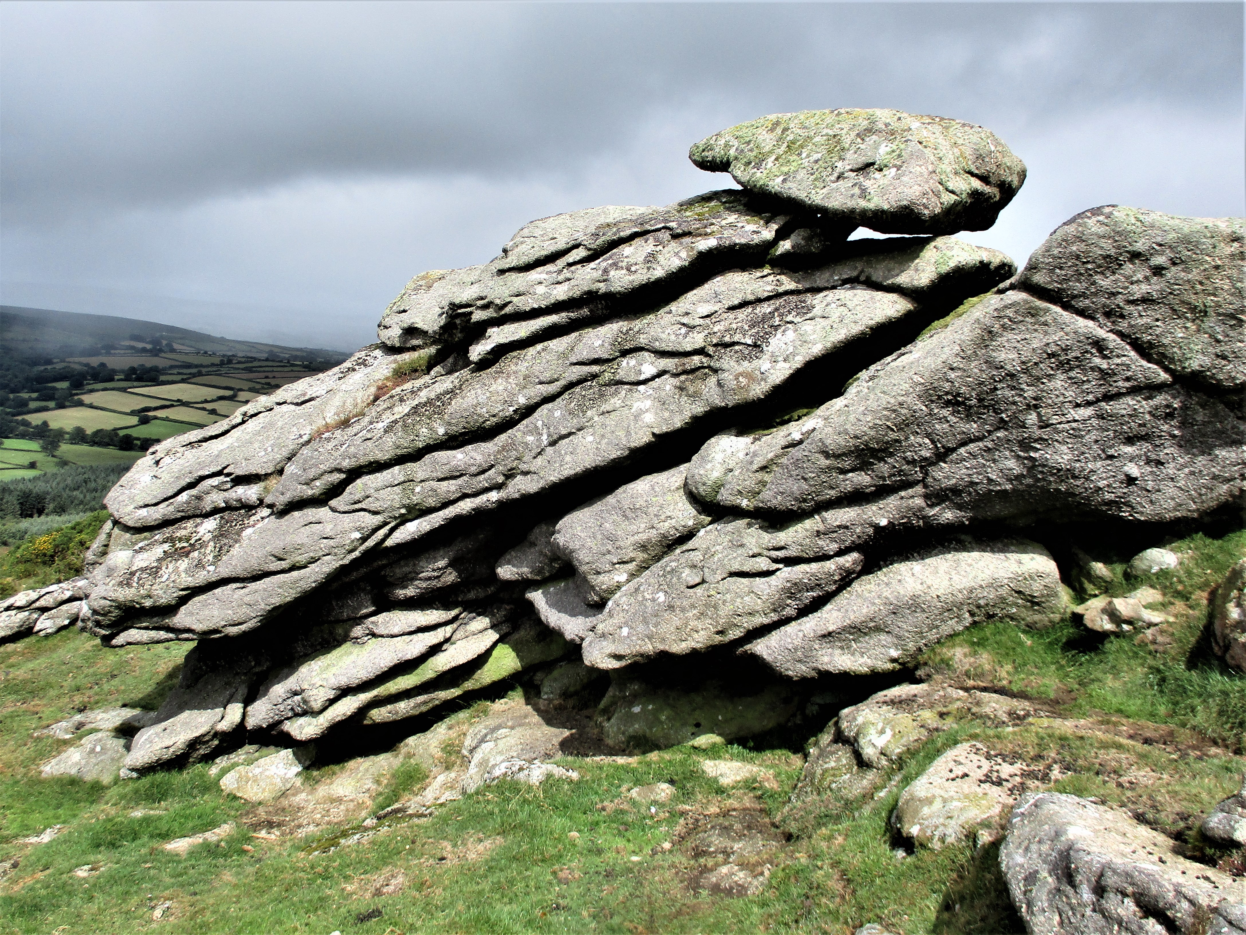 Whooping Rock in the sunlight Still marked by this name on modern OS maps alongside the nearby Easdon Tor the Rock here is first mentioned it seems in 1793 by Polwhele (cited in Rowe) who then records the existence of a logan at the site that has been 'venerated by the superstitious neighbourhood as an enchanted rock from the time of the Druids to the present day.' We later learn from John Chudleigh (1892) that the unusual name is attributed to the belief 'that children placed in the midst of a flock of sheep will be cured of whooping cough, this rock being a place where flocks congregated, was a likely place of cure.' William Crossing whilst repeating this story in his Guide to Dartmoor offers another theory that he attributes to Noel Carrington's poem 'Dartmoor' from 1826 where the name is likened to the noise made by the rock in tempestuous weather, a whooping sound supposedly caused by wind rushing through an aperture. Despite the long history and extensive use of the name Eric Hemery (1983) offers 'Piggie Rock' as an alternative claiming that 'Whooping' is not known to locals. Whatever the origins of the name, the Rock no longer shown as a logan nor obviously possessing one, is most probably the very large outcrop lying just off the summit of the main tor and OS triangulation point. The views from here as from the nearby tor are outstanding especially towards Hamel Down to the south and west. Easdon South Tor SX 7306 8196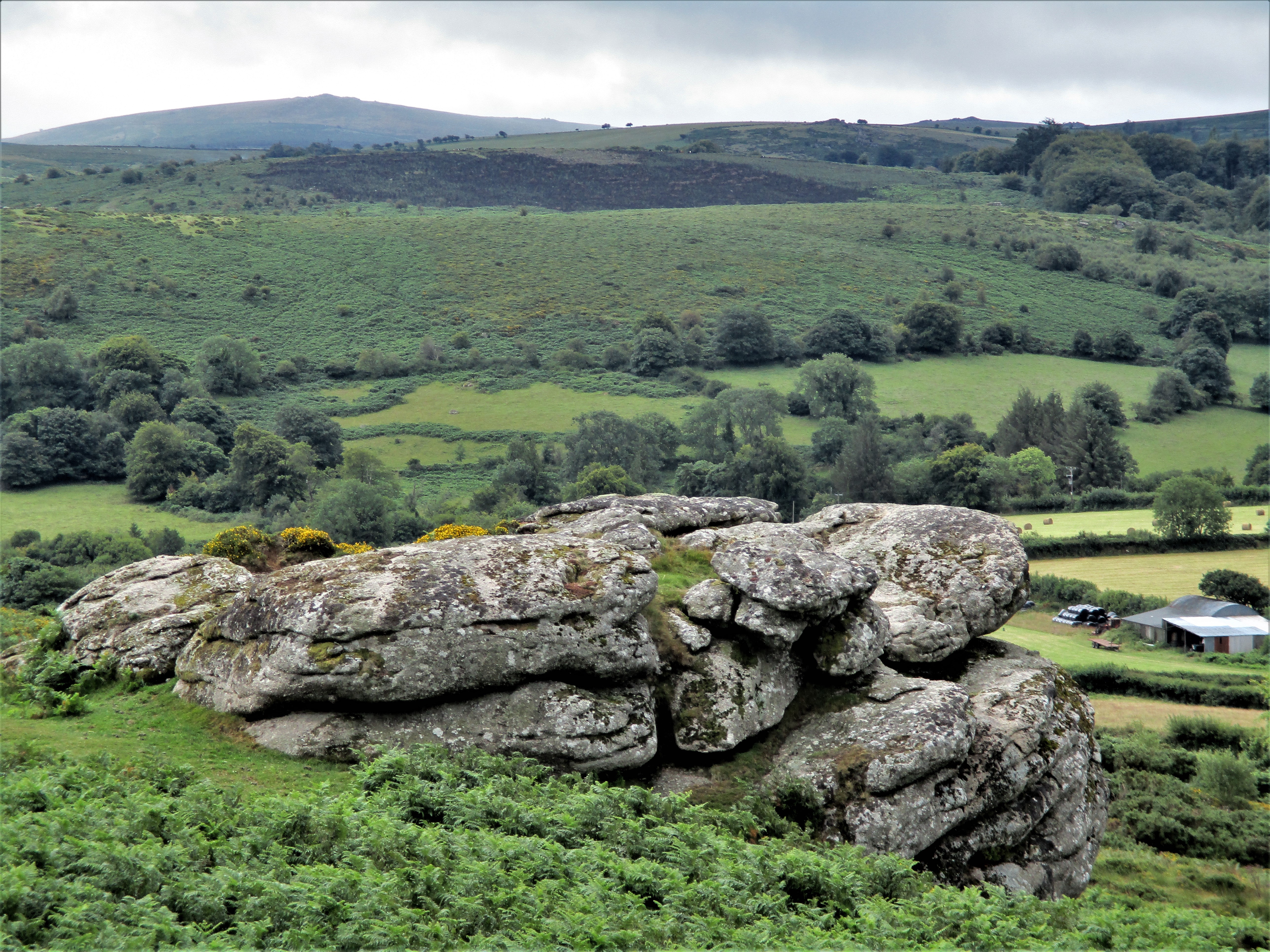 Easdon South Tor This is possibly one of the largest tors not to be represented on OS maps. It can be seen from the summit of the Down away to the south hence its name, but it is also known among Dartmoor enthusiasts as the Leaning Rocks. South Tor was offered as a name in 2011 by Steve Jenkins and it has since been generally accepted as appropriate for what is a magnificent cluster of giant rocks that have been completely overlooked by previous commentators. It is not the easiest of tors to get to because of the unchecked vegetation in the area so care needs to be taken when walking up or down the slope, but your perseverance will be rewarded. The tor's best aspect is easily on the west side where the giant outcrops tower over the visitor. Views again are impressive especially to the south and the tor's summit rock has been flattened into a convenient granite platform from which to enjoy the scenery and whilst atop there are a couple of emergent rock basins to espy for good measure. Easdon Hill SX 7333 8229There is a small jumble of lowly outcrops on the brow of a ridge that is strangely marked as 'Easdon Hill' on OS maps. Not too far from the more striking Figgie Daniel there is nonetheless evidence of a small tor here with some spectacular views especially towards Haytor Rocks on the horizon. Figgie Daniel SX 7347 8228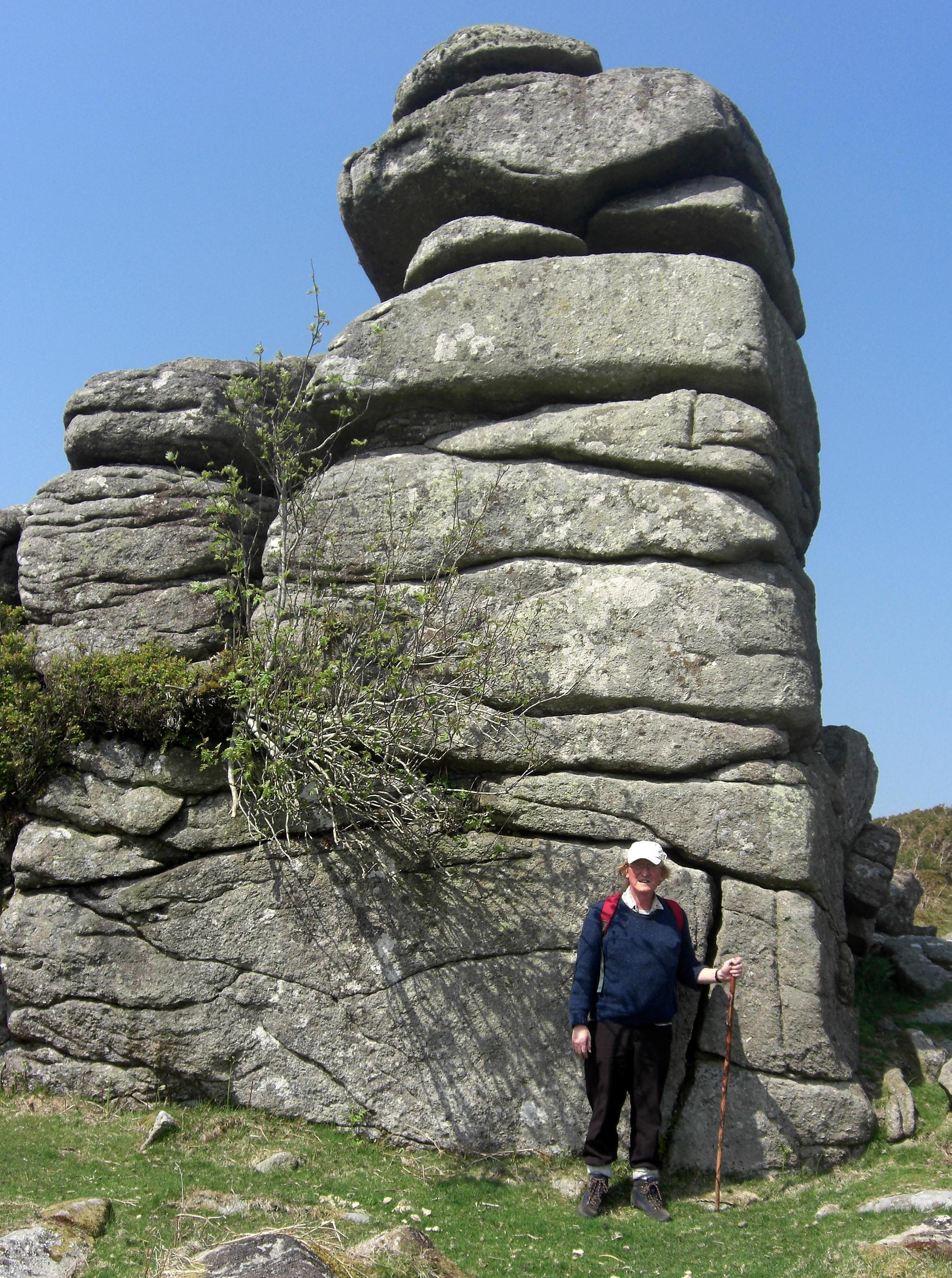 Figgie Daniel and Tim Jenkinson The name of this impressive stack of rock first appears in the tome 'High Dartmoor' where it is introduced by Eric Hemery. Reaching a height of some 5 metres on its lower side and with at least three good sized rock basins having formed on the highest rock it seems incredulous that it is not marked in any way on OS maps. It occupies a commanding position on the slope and like elsewhere has exhilarating views. However, the origins of its curious name are unclear as the author offers no explanation, so who was Figgie Daniel? Is this a nickname for a local farmer or labourer in the area? The tor is well worth visiting as you will not be disappointed by either its stature or the vista on offer. Bowda Tor SX 7349 8243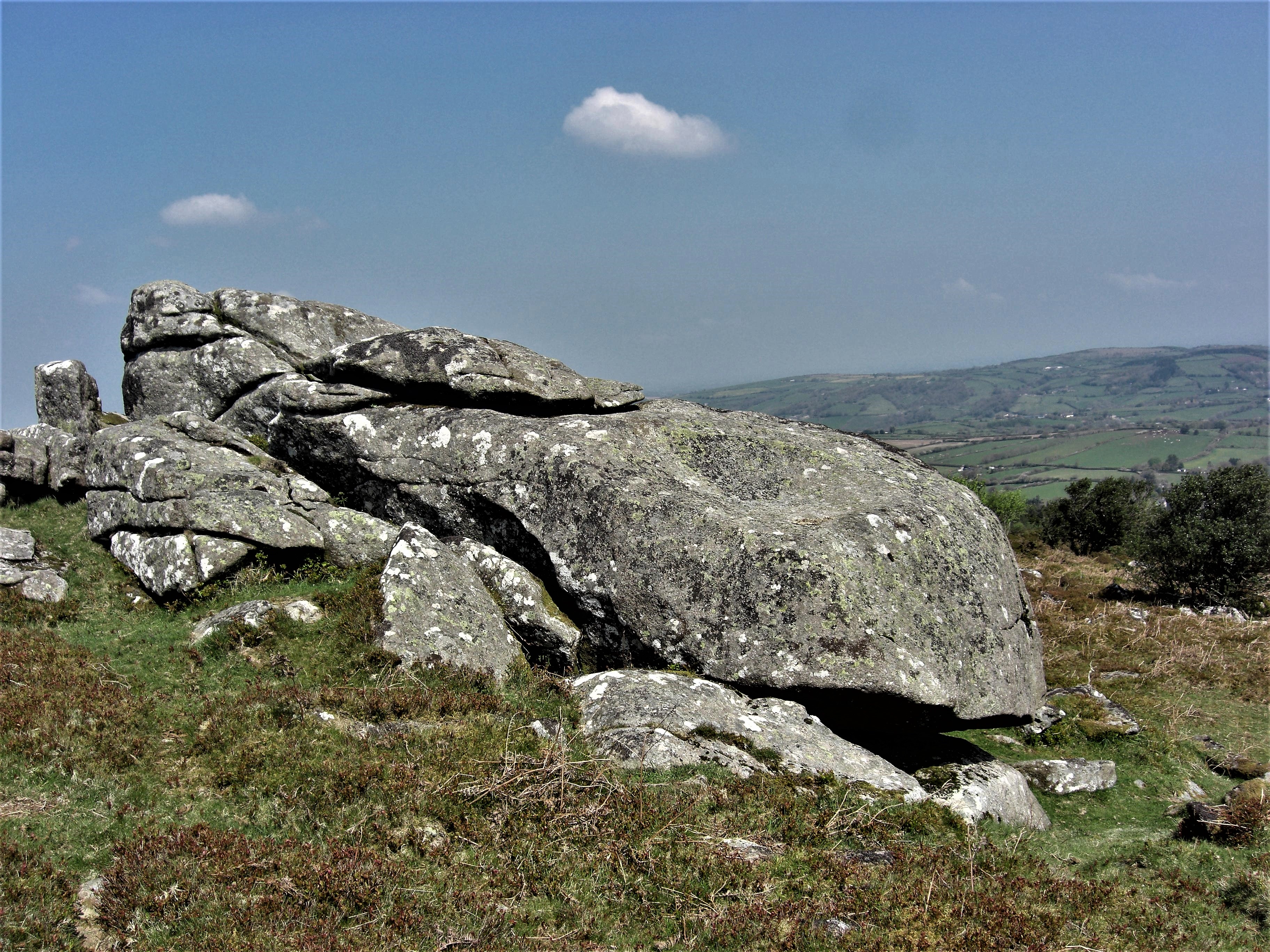 Bowda Tor This is another small rock pile that is set about 150 metres to the north of Figgie Daniel. It is surrounded by bracken in the summer months making it difficult to access. First noted by Max Piper it is essentially one huge outcrop with some scattered rocks on the slope beside. It acquired the name Bowda from its position high above the now ruined farmstead in woodland to the northeast. The main portion is interesting in so much that it possesses an unusual shallow but quite large rock basin that has partly formed on the south facing surface. As with most of the outcrops on the Down there are striking views to be had from the top this time away to the north and east. Barracott Tor SX 7393 8203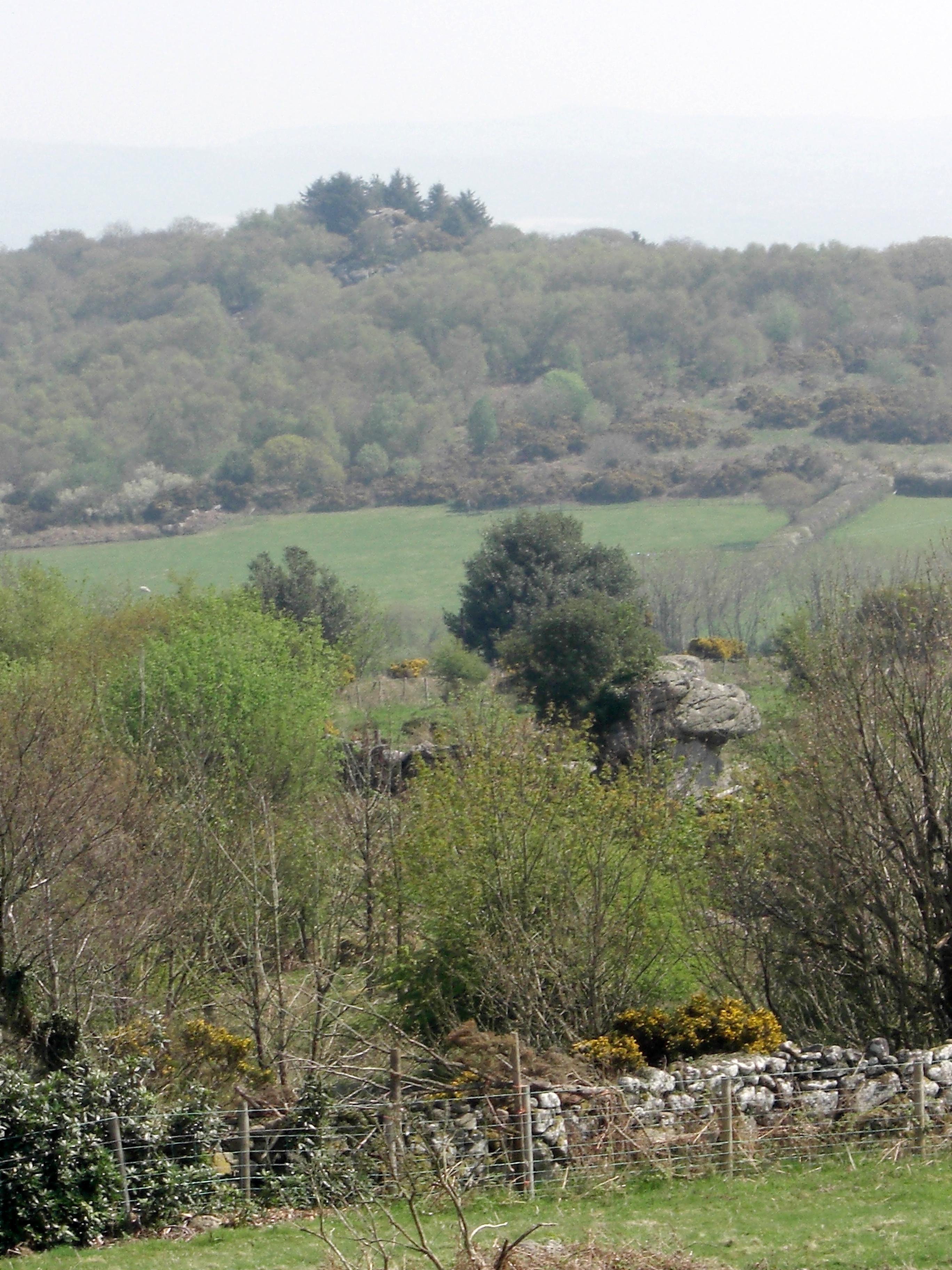 Barracott Tor in foreground This fascinating rock pile was first brought to my attention by Dr Peter Sanders and Alan Watson who had discovered it during their quest to visit 380 Tors in 1996 describing the rocks here as 'massive, extensive and very Tor like, they have been used as part of a field wall'. I later gave it some coverage in an article on Nameless Rockpiles in Dartmoor Magazine in 2000 when the name of Barracott Tor was first speculated and later became accepted going on to be included in Ken Ringwood's 2013 book on Dartmoor's Tors. It lies way down on the far south-eastern slope of Easdon to the north of Barracott Farm. It is important to emphasise that the tor here resides on private land and is therefore out of bounds without permission from the landowner to visit. That said glimpses of the tor can still be had from above the enclosure walls where the curious contorted stack peeps above the trees backed on the horizon by the massive Manaton Rocks. Boodown Rocks SX 7321 8184 Boodown Rocks This is a local name for a small cluster of prominent rocks 100 metres or so above the gateway that opens out onto the Down from the direction of Barracott and Boodown Farms. Consisting essentially of one large but quite impressive overhanging outcrop the rocks are once again disappointingly surrounded by gorse and bracken and are difficult to access in the summer even though they stand so close to the path. Given their prominence in the area straddling the parishes of Manaton and North Bovey, Easdon Hill and Down have been rather overlooked in both the literature of the moor and by the OS who fail to represent on maps most of the clusters of fine outcrops that are dotted across the slopes. This short article has attempted to draw attention to the lesser-known tors on this hillside but be warned the routes to many are often snarled up in the summer months by vigorous and unchecked vegetation that is also a threat to the boundary stones. So, a visit between the months of October and April would be favoured to fully experience and enjoy the rugged landscape here. AcknowledgementsReferences |