TORS OF DARTMOOR EXTRA
a collection of extra material from the tors of dartmoor team
Dartmoor Discovered: The Rock Piles of Brent HillTim Jenkinson on 20th January 2025 Brent Hill from Ugborough Beacon An edited version of this article appeared in Dartmoor Magazine - Spring 2023, Issue 149, p24-26.Anyone who visits the southernmost edge of Dartmoor National Park and has the good fortune to walk over Ugborough Beacon (SX 6659) cannot fail to be impressed by a distinctive pointed hilltop seen away to the northeast this is Brent Hill set at about one mile above the large village of South Brent at approx. 1034 ft (315 metres) above sea level. So conspicuous is the landmark that it can also be seen from much further afield such as atop the summit of Buckland Beacon (SX 7349 7311) and believe it or not even Shap Tor several miles away to the north and east at SX 8095 8082. Access to the Brent Hill is via two permissive footpaths one running through the hamlet of Higher Lutton at SX 6970 6127 with another further to the north at SX 7002 6205 One of the earliest references to the area stems from Samuel Rowe (1848) who describes the 'lofty pyramidal' hill as Brent Beacon this name having already appeared on Benjamin Donn's Map of Devon from 1765. Rowe enthuses over the vista from the summit he writes 'In front the vale of the Avon and South Hams: on the north and west, the bleak expanse of the moor, while to the east the prospect extends to the heights of Haldon'. In 1909 William Crossing (WC) explains that part of the down here is also known as Beara Common and continues with the descriptive delights 'From no hill on the moorland borders is the view more varied than from this one. Southward there is a panorama of field and woodland with farmsteads and towers of village churches. The valley of the Avon can be traced for many miles glimpses of the Channel off Torbay and westward of the Bolt Tail are obtained; the higher part of Torquay is seen and several landmarks on the coast with Berry Head and the Bolt Head.' He then goes on to repeat Rowe's moorland scene. The first that we learn of the evidence of any rock piles here is from WC who advises 'The crags on the W.side of Brent Hill are best seen by turning L. on entering upon the down above Lutton. If this route is followed the visitor may make his way to the summit by the grassy slopes between the piles'. Writing many years later Harry Starkey (1987) describes the same scene 'Beyond the gate the land rises steeply, and the hill is crowned by a rocky ridge which elsewhere on Dartmoor would be called a tor this is not granite by the way but metamorphosed slate.' Modern Ordnance Survey (OS) maps depict the rocky landscape here very well with several crags shown as running in a south westerly direction from the summit. 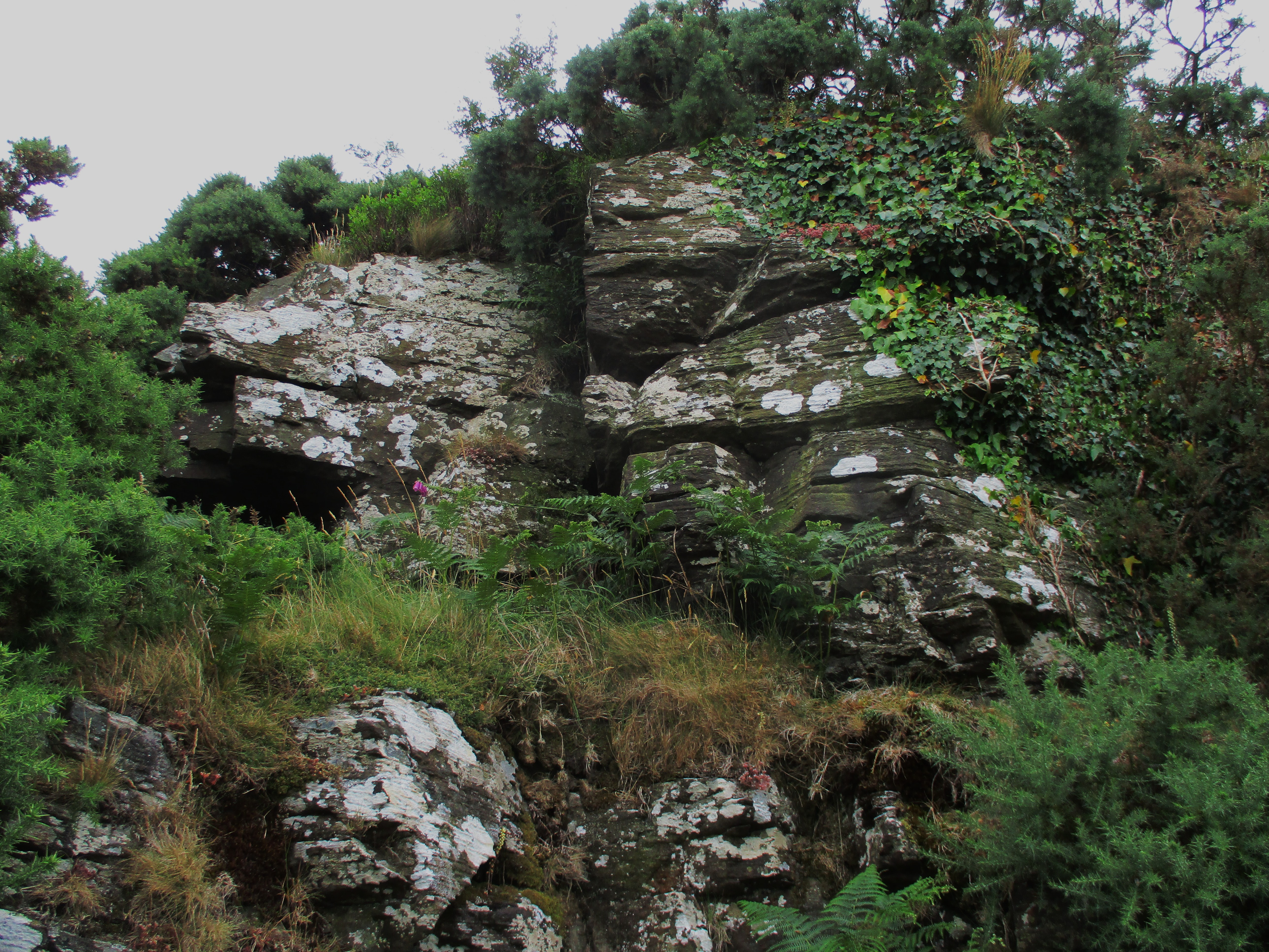 Brent Hill North East Tor Inspired and intrigued by these evocative accounts the Tors of Dartmoor Team namely Paul Buck, Max Piper and myself have since 2019 visited the hill on several occasions to explore the various rock piles that are dotted across the ridge of the common. Preferring to enter from the north and thereby climbing the less strenuous slope the first outcrops to be encountered are part of the north-eastern section (SX 7038 6180). Here there are several small outcrops some of which have strayed into private enclosures, but they are perhaps the best examples of the rock type described by Starkey distinctively fissured and adorned with patches of silvery grey lichen. Walking southward beside the fence the summit rocks are soon reached and nearby is an OS Triangulation Pillar (SX 7030 6170). This is where the views can be enjoyed, it is indeed a thrilling scene. The rocks here are impressive and cliff like on the north side. Beyond the fence there are the diminishing remains of a small building speculated by some to have once been a small chapel and indicated as such on early 19th OS maps. For more discussion on the possible origins of the surviving walls please see Dave Brewer's (1989) commentary in an edition of Dartmoor Magazine from that year (see references). 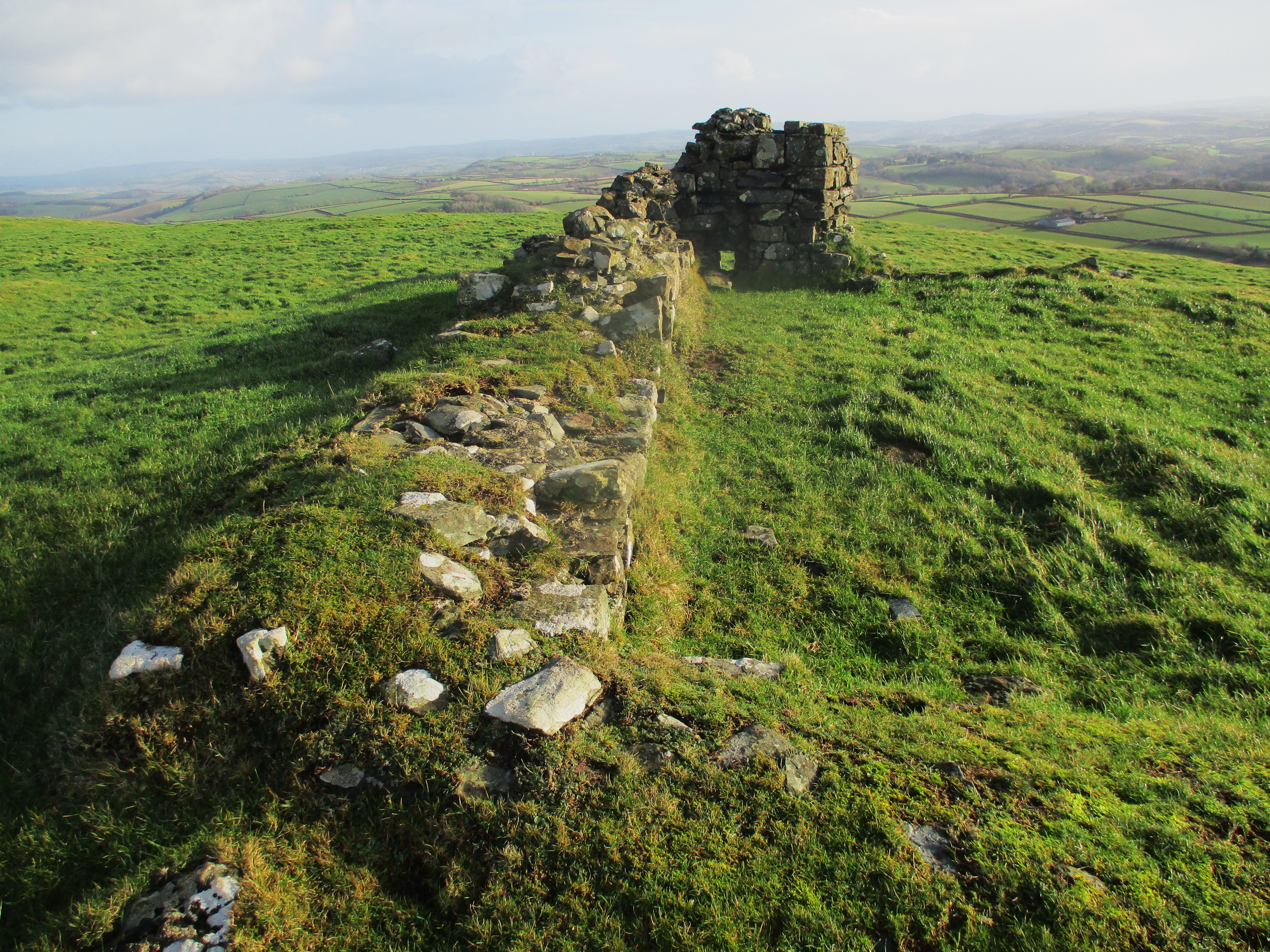 Brent Hill Ruin According to the Book of South Brent (2005) there exists an annual Easter tradition 'Near the summit are the ruins of St Michael's Chapel. A custom of taking wooden crosses to the summit rocks of Brent Hill was started in 1972 by the then Reverend Michael Malsom. Every year since on Good Friday, excluding the foot and mouth epidemic of 2001, the pilgrimage has taken place. We assume that it still continues to this day.' As a result, an alternative local name for the location is Chapel Hill as shown on the Tithe Map of the 1840s. Occasionally the rocks are also referred to as South Brent Tor this being a name introduced by John Lloyd Warden Page in 1895. Nearby and just off the summit is a curious weathered and balanced rock that according to personal correspondence from self-styled 'Southbrentkid' was a place where children used to play in the mid-1970s. 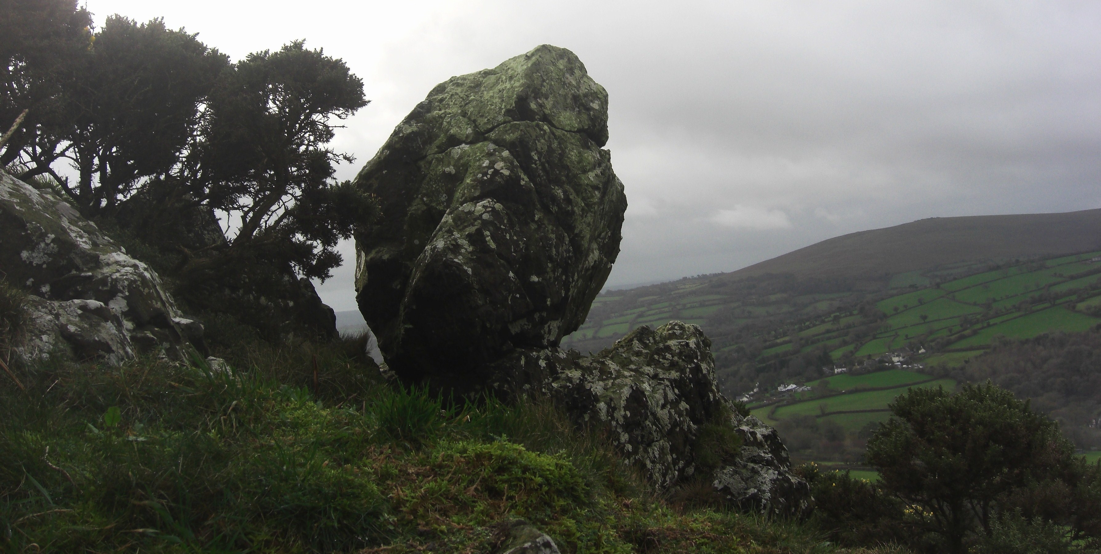 Brent Hill Balanced Rock Further down the slope to the southwest at SX 7015 6153 is another section consisting of three possibly four non granite piles that are shrouded in trees and surrounded by thickets of gorse, bracken and briar that in summer months are almost impenetrable. The best part of this tor is the huge outcrop set nearest to the summit forming a massive rock face on the north side. The other piles are much smaller, but this southwestern tor is perhaps the most conspicuous of the group when viewing from the roads below. 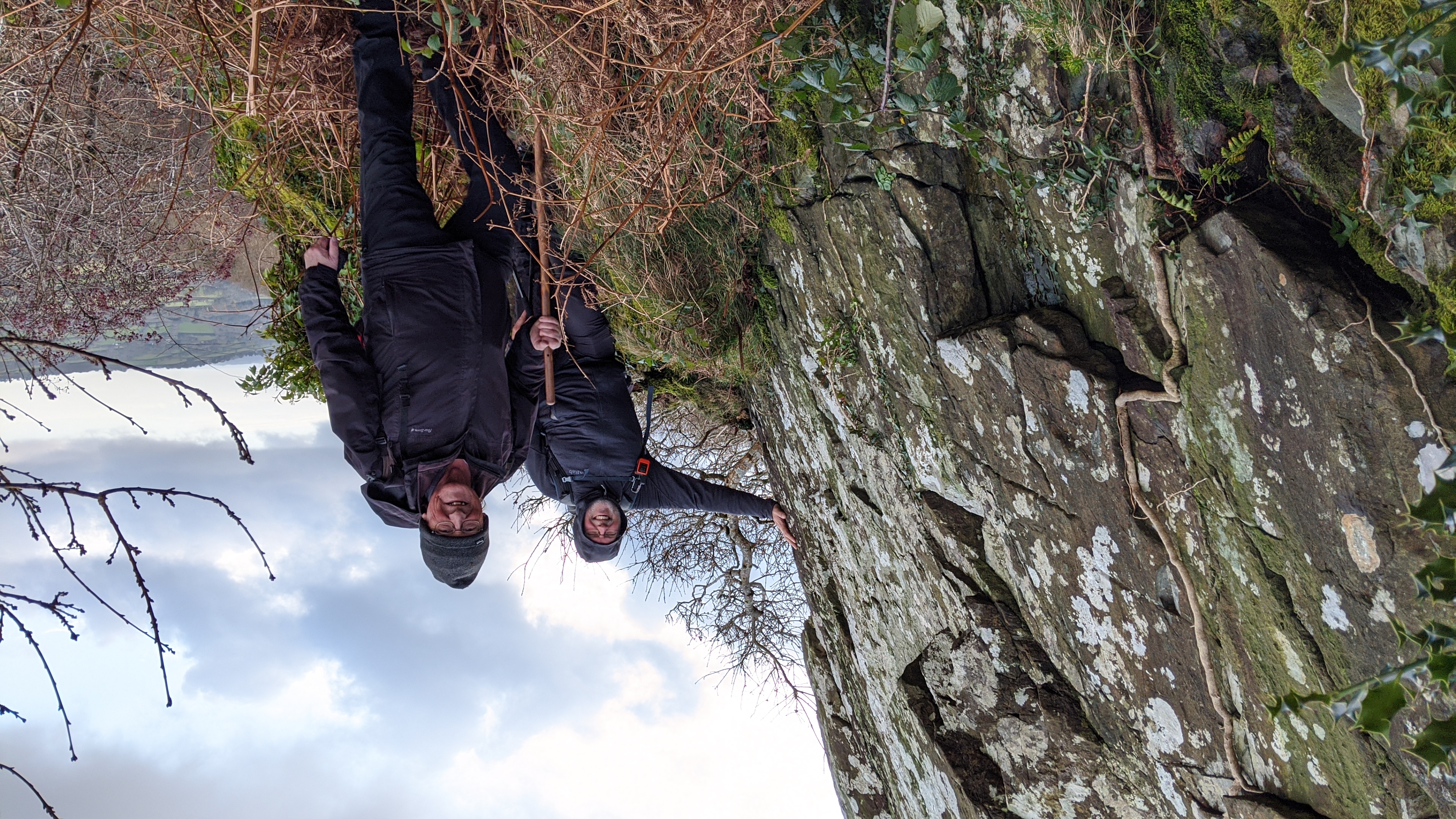 Brent Hill SW Tor It is now necessary to retrace our steps for better walking ground and drop down to the lower levels beneath the rocks and head southwards towards the next rock pile in sequence that is secreted away in a small copse at SX 7007 6141. This is Lutton Tor towering above the hamlet of that name and set at roughly 265 metres above sea level so well below the highest point on the ridge. The rocks here are not visible until virtually upon them as the trees conceal their stature. Consisting of a magnificent central pillar of craggy rock that reaches for the sky through the wooded canopy this is clearly the finest part of the tor but other rocks are strewn through the trees. It was stumbled across by accident in December 2019 by Max Piper and myself whilst visiting the other more obvious outcrops higher on the slope. 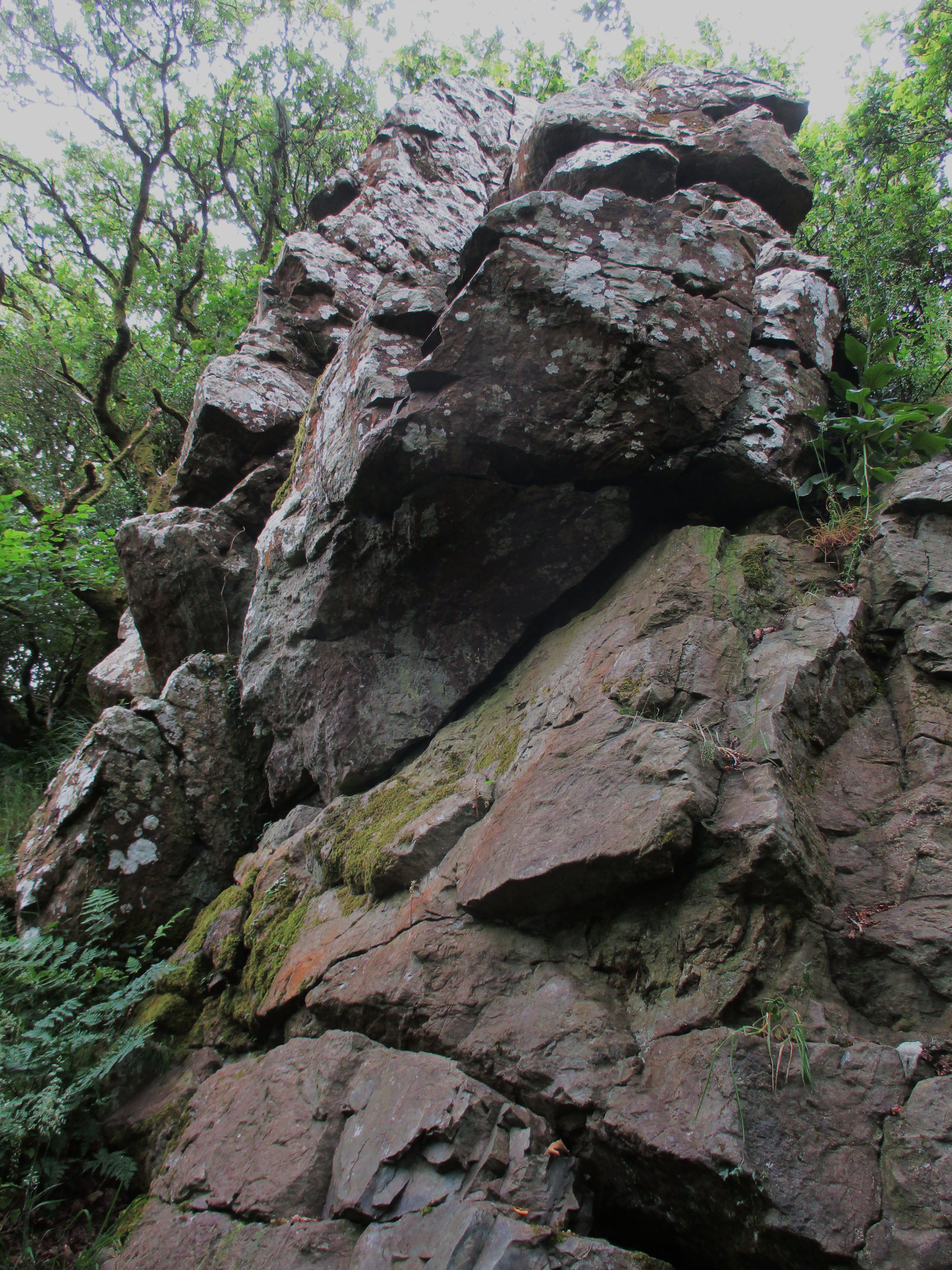 Lutton Tor Stack Continuing downhill and now guided by a low fence the visitor is led around to a newly installed wooden stile that replaced an old ram shackled gate here (Dartmoor News 2022). There is now public access assured that takes us into another part of the wood and steering to the southeast the rocks of Underhill Tor are soon reached. This is a fine pile there are some low and dark embedded outcrops hidden in the trees but the main part nudges out of the wood at SX 7004 6123 and on the summit, there is a curious thin, snaking rock basin that has formed on the top surface of the metamorphic rock and from here there is a very good view towards Ugborough Beacon. 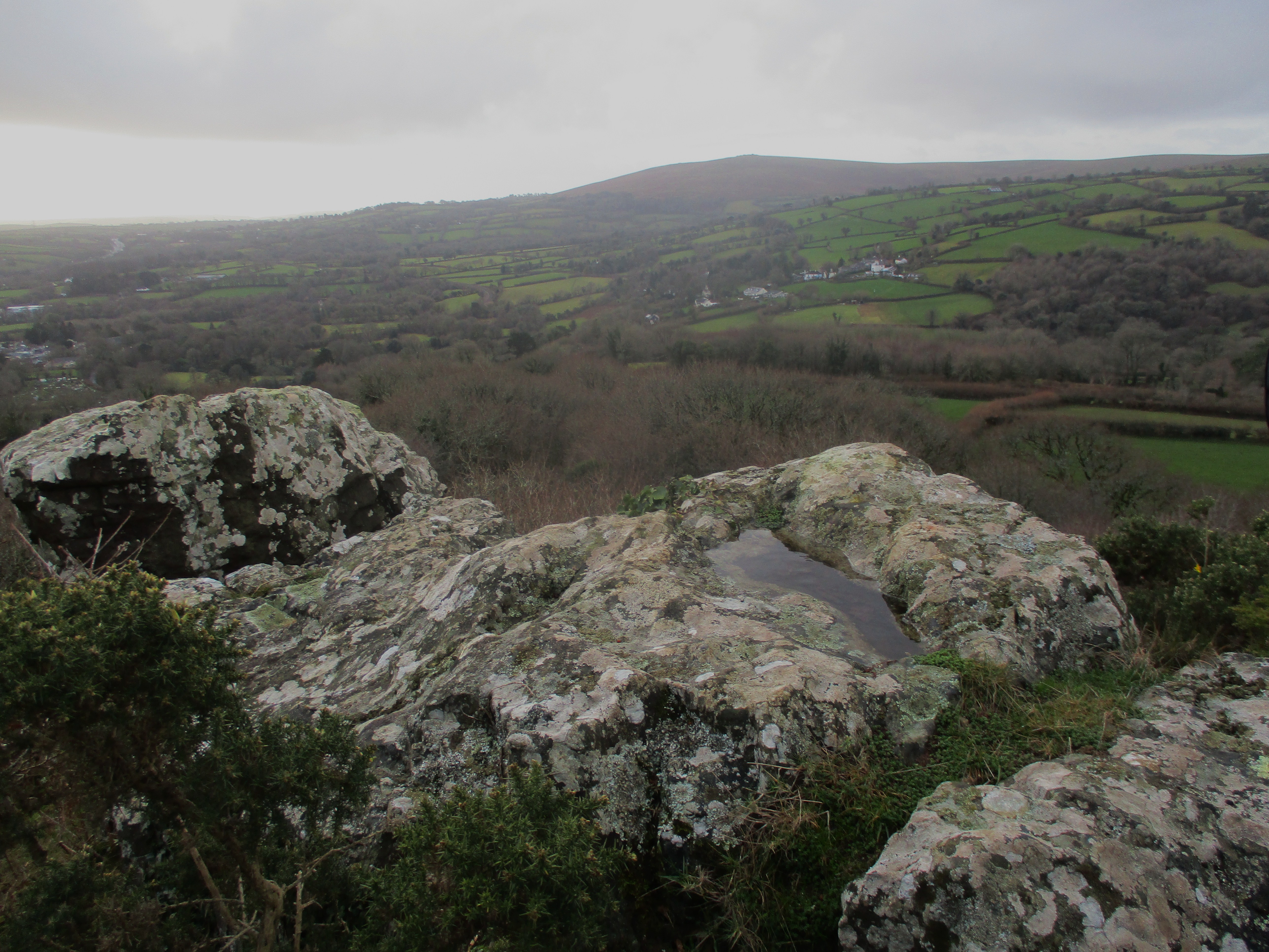 Underhill Tor Summit The name of Underhill emanates from the Estate that was recorded as such in the early 1840s under the Tithe Apportionments, although the actual site of the tor is shown simply as 'Rocks' residing in Plot 2164. Underhill seems an appropriate name, sited as it is above the same named farm, and with it being low down on the slope it is literally 'under the hill'. The path back to South Brent is via the new stile and then by descending through Higher Lutton to re-join the road and then turning left in the direction of the village. 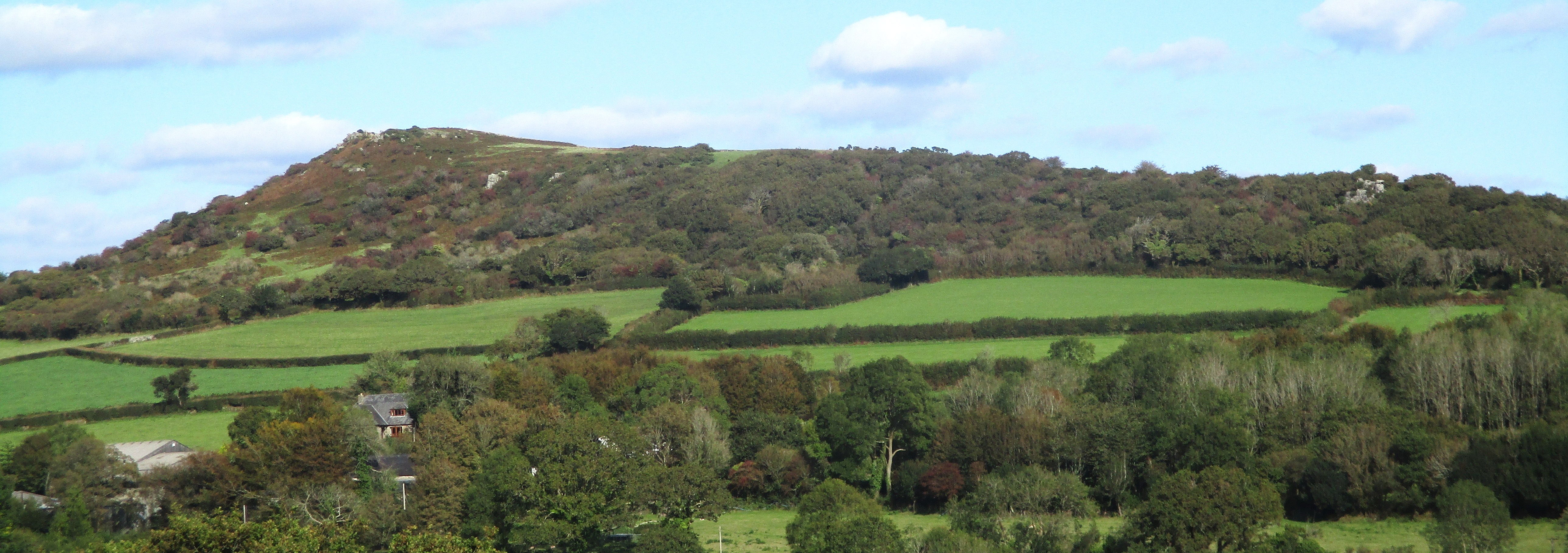 Brent Hill from Aish, Underhill Tor right. Whilst Brent Hill, a commanding lofty outpost of South Dartmoor, has received some recognition in the literature the various rockpiles that stud its slopes have not really been described in any detail. It is hoped that this brief account has gone some way towards addressing that and that people will be encouraged to explore what is indeed a fascinating albeit non granite landscape. That said and to reiterate a point made earlier to get the best from the rocks it is probably better to visit in the winter months as the vegetation particularly that around the southwest pile can be problematic at other times of the year. Acknowledgements:
References:
|