TORS OF DARTMOOR
a database of both lesser- & well-known rocks and outcrops
Balls Wood Tor
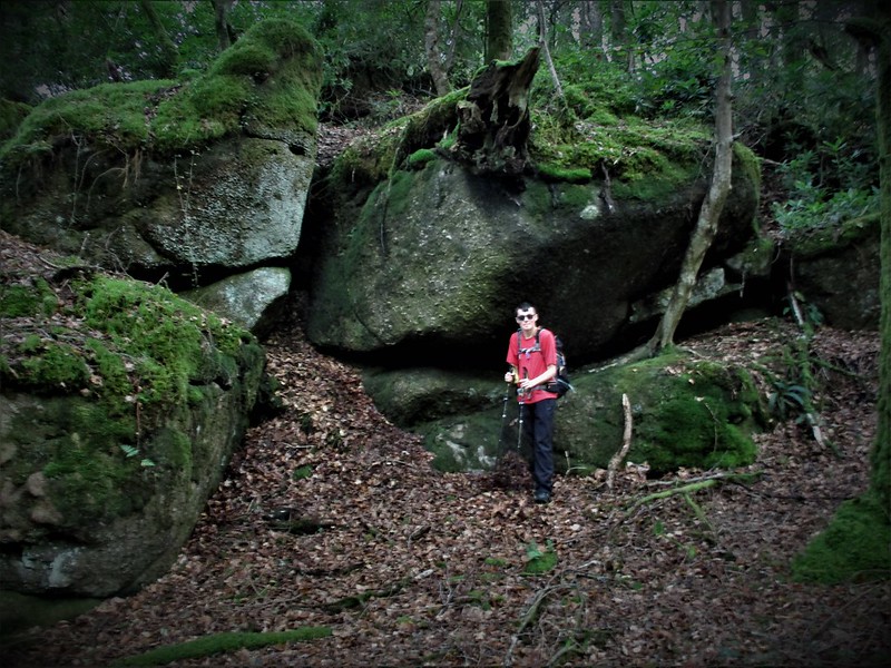 The enclosure that is to the south of Gidleigh Park Hotel is recorded on an Ordnance Survey (OS) map that was published in 1905 as Balls Wood indicating that there have been trees here for at least two centuries or more. Amid the conifers on the eastern side of the North Teign River there is a wide spreading sprawl of large moss-covered outcrops and boulders that are separated across the summit of the slope by an ancient boundary wall. This means that the rocks on the western side are in the parish of Gidleigh whilst those on the east are in Chagford. The extent of the tor is quite mesmerising as rocks are scattered all over the slopes and at points, they are intersected by tumbled down walls and a trio of slotted gateposts that in keeping with the OS representation indicate that the land here was once farmed. 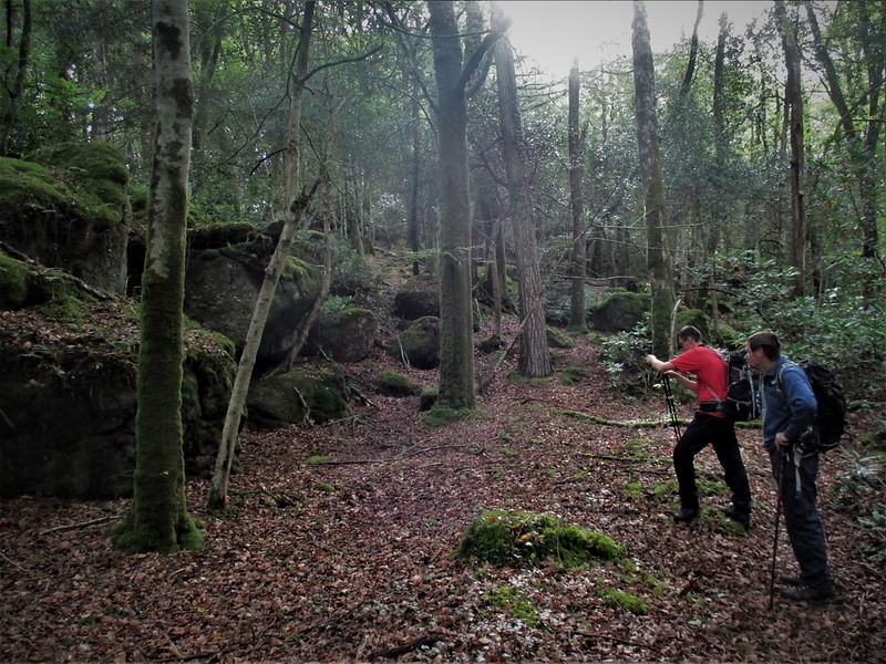 Wholly set on private land the tor was first noted by Paul Rendell in 2020 and is comprised of some very interesting and sizeable darkened piles that are strewn through the trees on either side of the aforementioned wall. The best rocks are probably on the western slope where the river rumbles through the landscape. Here there are scruffy but tall outcrops facing the river. Split and fissured they are draped in vegetation adding to their charm. It is a picturesque spot secluded and rarely visited and yet this is one of the most impressive lesser-known tors of this district. 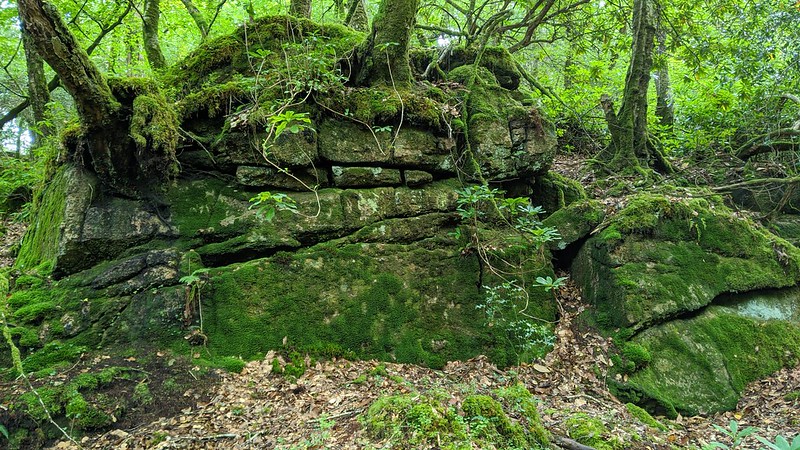 Even the normally precise William Crossing seems to have overlooked the substance of the rocks missing the opportunity to describe them in the book Gems in a Granite Setting. During an excursion to Gidleigh Chase in c1905 the author whilst enthusing over rockpiles in other parts of the wood particularly those closer to Gidleigh Tor proper, neglects to comment on the rocks in Balls Wood which given their size and spread seems a strange oversight but perhaps he too was restricted by access even in those days. That said the Wood and Tor here are certainly not the easiest of places to find nor visit and although they can be accessed via a track leading from South Park, it is nonetheless imperative to acquire permission from the landowner before embarking on any exploration. 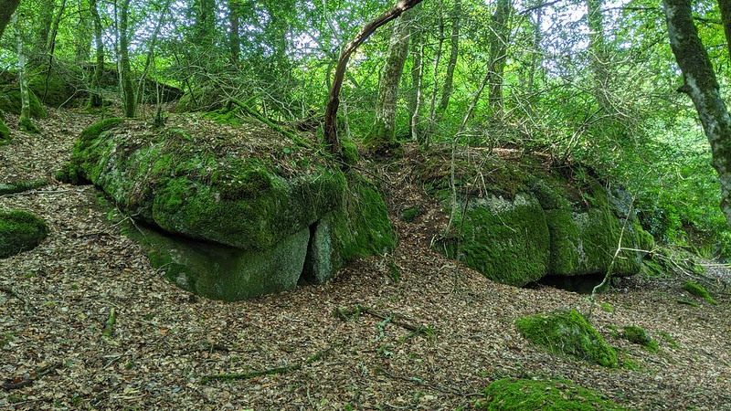
| ||||||||||||||||||||||||||||||