TORS OF DARTMOOR
a database of both lesser- & well-known rocks and outcrops
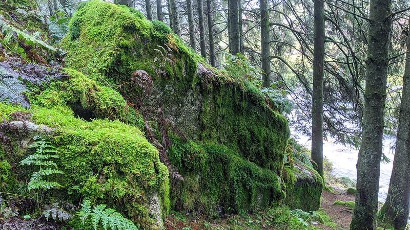
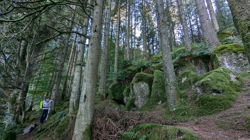
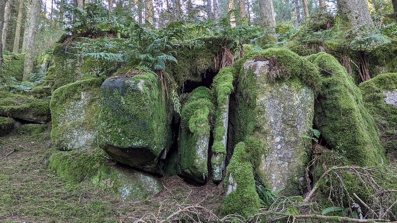
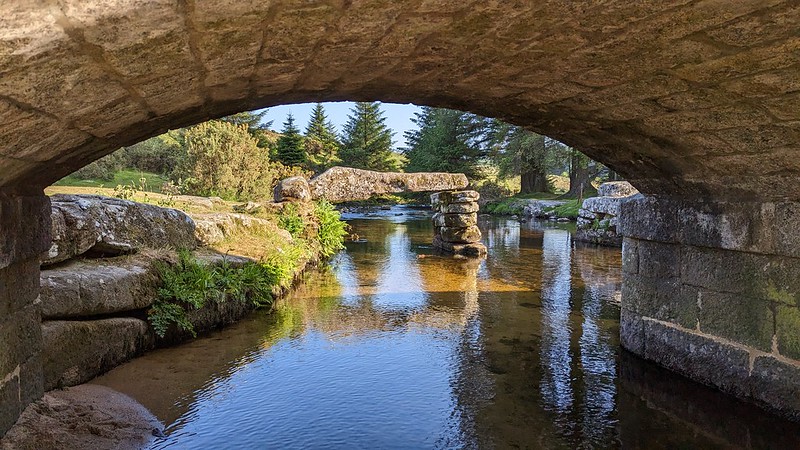
Bellever Rocks Noted by Dartmoor Guide Paul Rendell in 2021, there is a scattering of mossy granite rocks just above the west bank of the East Dart River, within the confines of Bellever Forest. Plagued by perpetual twilight because of the proliferation of conifers that were planted in the 1920s, the rocks here can be reached by taking a narrow little path south alongside the river from the honeypot of Bellever Bridge, but be aware that there is an awkward fence to negotiate on the way, so take care.  The rocks' location under the trees has ensured that they have remained relatively overlooked, as they cannot be seen from afar. The main part at SX 65731 76811 is a delightful cuboid-looking pile, with moss emanating from the joints and embellished by ferns on top. Although it is a humble pile, it is nonetheless quite attractive.  Undoubtedly best viewed from below, as the rocks are tumbled on the valley side, one can also not ignore the East Dart River. This river, together with its West counterpart, rises on the high fen of the remote North Moor and flows generally south-eastward, coming together at the aptly named 'Dartmeet'. The East Dart passes through Postbridge and the famous clapper bridge there before arriving at Bellever, where there is a second clapper, albeit dilapidated with two of the four slabs/planks missing. We learn from Hayward (1991) that part of the bridge was washed away in a flood, and that: "An inspection will show three notches cut into the top stone of each pier - notches which may possibly have seated baulks of timber."  The hamlet of Bellever itself, located on the Lych Way - where the dead were carried in their coffins all the way to the parish church of Lydford, some gruelling 15 miles' walk away - is believed to be a corruption of 'Bell(a) Ford'. The prefix 'Bell' could derive from 'Bal', a mine, but which mine is unclear. Indeed, Hemery (1983) says that the name is "risky of derivation" and he regularly interchanges both 'Bellever' and 'Bellaford' in his book.
| ||||||||||||||||||||||||||||