TORS OF DARTMOOR
a database of both lesser- & well-known rocks and outcrops
Broom Field Rock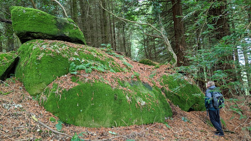 Hidden deep in the southern section of North Bovey Woods on the far eastern slopes of Easdon Down, is a very interesting moss-covered outcrop type rock that is part involved in an old boundary wall. The plot of land here is marked at the junction of Great Broom Field and that of Long Close on the Tithe Map of 1840 with the former overlooking the latter and the wall separating the two enclosures is impressive and well worth a look. 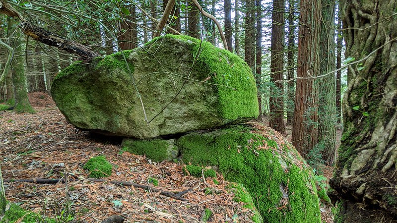 Discovered by Paul Rendell in 2020 the Rock itself presents particularly on its lower side as a huge rounded and smooth looking boulder with a smaller one balanced on top. Hardly anything of the Rock is visible from above the old wall but dropping down the slope reveals its best aspect. Totally detached in a rather remote part of the wood that is shrouded in conifers, the main rock is surprisingly large but even in full daylight it still has a shadowy appearance. 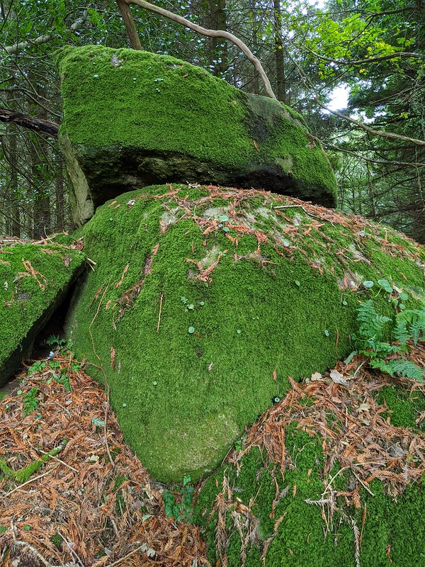 Set wholly on private land it is essential that permission is granted from the landowner before visiting this area. Another point of interest in the vicinity but some way to the north is the ruin of the old Bowda Farmhouse, along with a barn and a curious ash house in the grounds. The Historic Environment Record gives the following descriptive summary: "Farmstead dates to at least the early 14th century, based on documentary evidence. Tithe map depicts the farm, which was further developed in the late 19th / early-20th century, before being abandoned in the later 20th century." 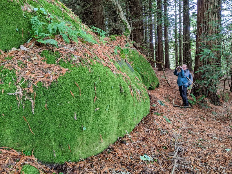 The description continues: "Included in 1991 woodland survey, when buildings were described as being in poor condition. Surrounded by mid-late 20th century conifer plantation." The farm was also one of 132 lots included in the grand auction of the North Bovey Manor Estate in November 1928 following the death of landowner Lord Hambledon.
| ||||||||||||||||||||||||||||