TORS OF DARTMOOR
a database of both lesser- & well-known rocks and outcrops
Cator Common RocksCator
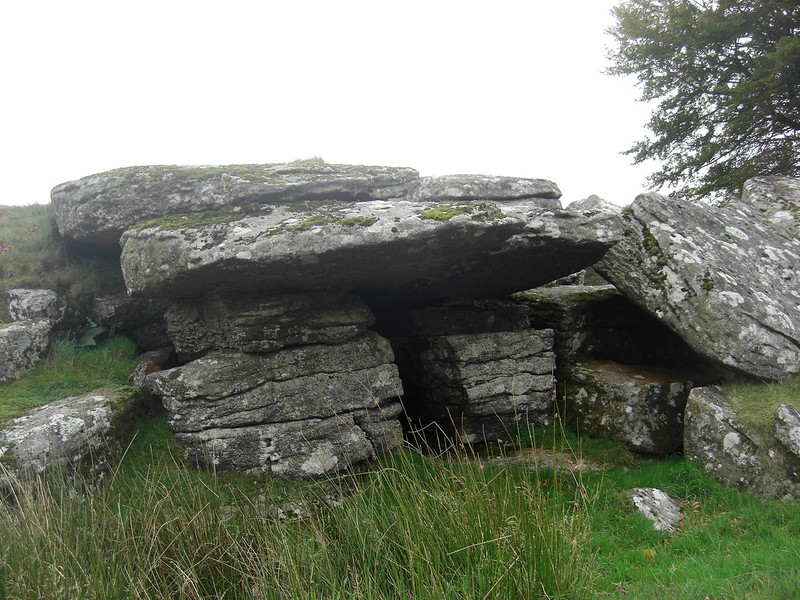 Set on private land in the far north west corner of the Parish of Widecombe in the Moor this small tor of two compact but quite ruined piles, lies a little way to the north of the road on the east bank of Walla Brook opposite Riddon Brake not far from the hamlet of Bellever. A public bridleway runs little more than 200 metres to the east. First appearing on Tim Jenkinson's Flickr photostream in October 2011, the rocks were later included in Ken Ringwood's book of Dartmoor's Tors and Rocks from 2013 appearing simply as 'Cator'. 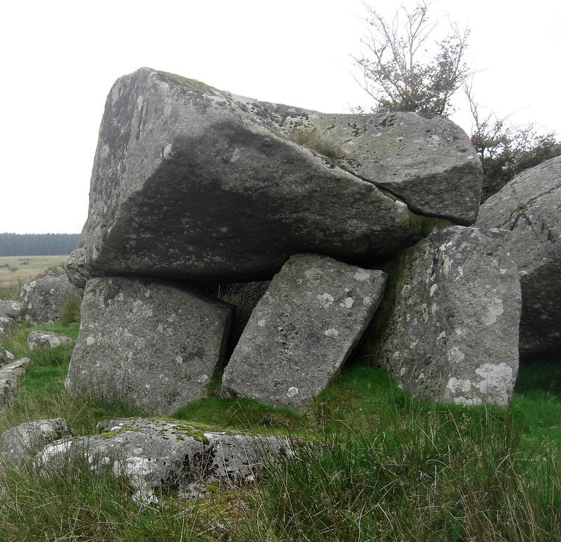 However, as a stand-alone name Cator is perhaps more applicable to the Manor than a small pile of rocks. Dave Brewer suggests that the name (he calls it a settlement) is recorded in the 13th Century by Thomas de Spicwyk. The various boundary stones in the area that are inscribed with the letters CB mark out the land of Cator Manor to separate it from Widecombe Parish. So, it's entirely possible that the name represents somebody's surname or estate name rather than coming from a tor in its own right, a bit like Spitchwick Manor which is linked to the Spicwyks. According to Gover, Mawer and Stenton (1932) Cator was mentioned as 'Cadatrea' in 1167 and there have been various other spellings in the 13th and 14th centuries. In 1412 it appears as 'Cadetru' and again in 1481 as 'Nythercatrew'. 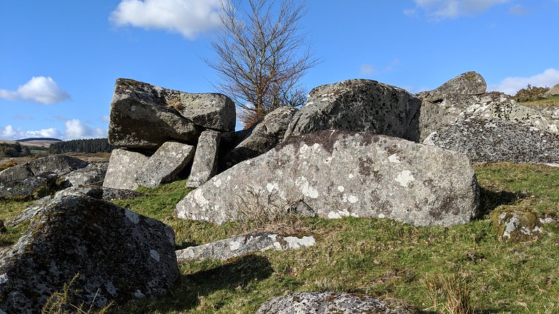 Described by Ringwood as "a few granite blocks on the side of Cator Common" the rocks here are more impressive at close quarters where there are two main outcrops the higher one showing some faint jointing in the granite. The lower pile is the better with an interesting small overhang. Other rocks are scattered across the slope here all of which can be readily viewed from public land a short distance, 100 metres or so to the south, at the small pull in area by Pizwell Bridge. 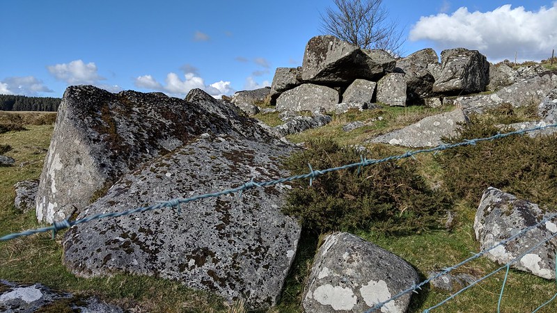
| ||||||||||||||||||||||||||||