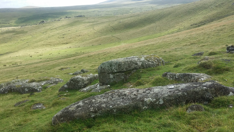
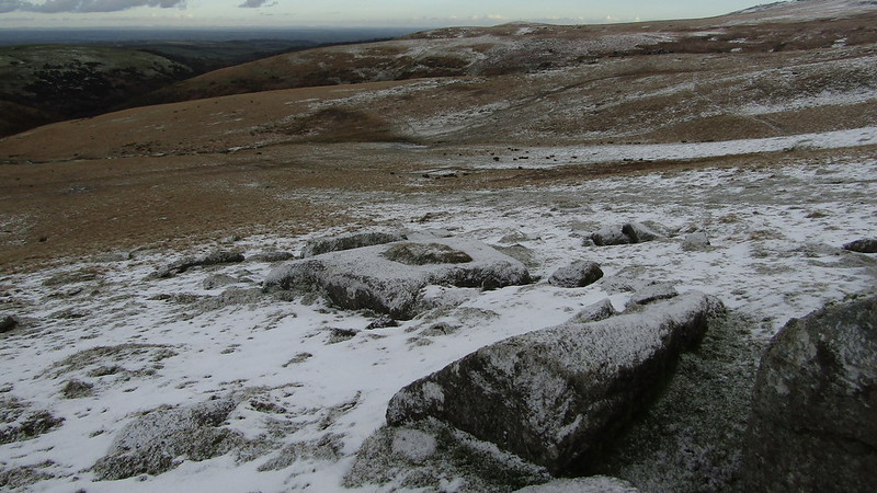
Perched on the southern slopes of the amphitheatre-like bowl called Corn Hole, you will find this small collection of granite that suggests the remnants of a tor on the hillside.
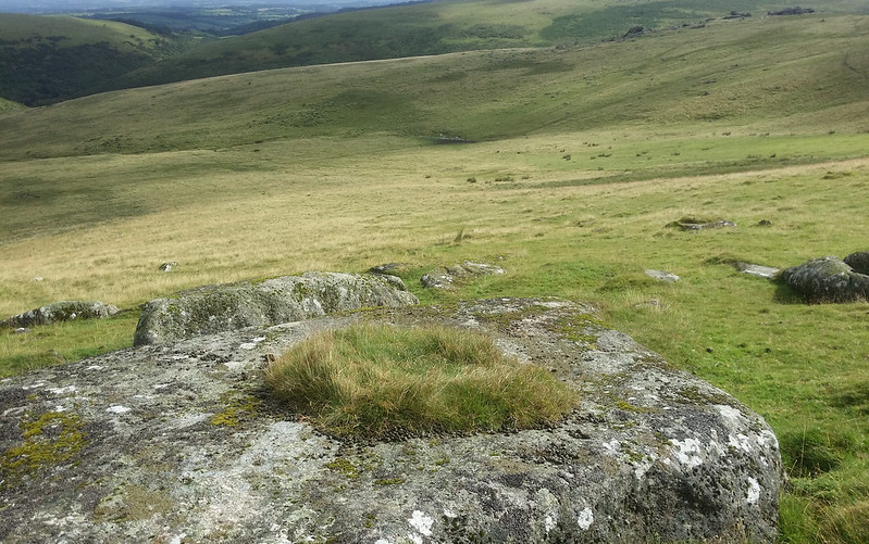
One outcrop is quite distinctive when viewed using Google Maps Satellite View, as it has a square turf placed in its centre. The flat nature of the rocks makes it easy to sit and enjoy the charming views.
Corn Hole Rocks
The map above is not a navigation tool and we recommend that the grid reference shown below is used in conjunction with an Ordnance Survey map and that training in its use with a compass is advised.
Grid Ref:
SX 5537 8960
Height:
426m
Parish:
Lands common to the Parishes of Bridestowe and Sourton
We are proud to see the names of lesser-known tors are now being used more commonly on other websites and whilst this is to be encouraged we do request that, should you wish to use the information on this page, you provide a backlink to the website as reference, by copying the relevant address:
Please also consider a small donation to the upkeep of the site; any contribution goes toward the fees to keep the database online and any costs incurred when undertaking research such as subscriptions to online archives.