TORS OF DARTMOOR
a database of both lesser- & well-known rocks and outcrops
Dendles TorHawns and Dendles Gorge
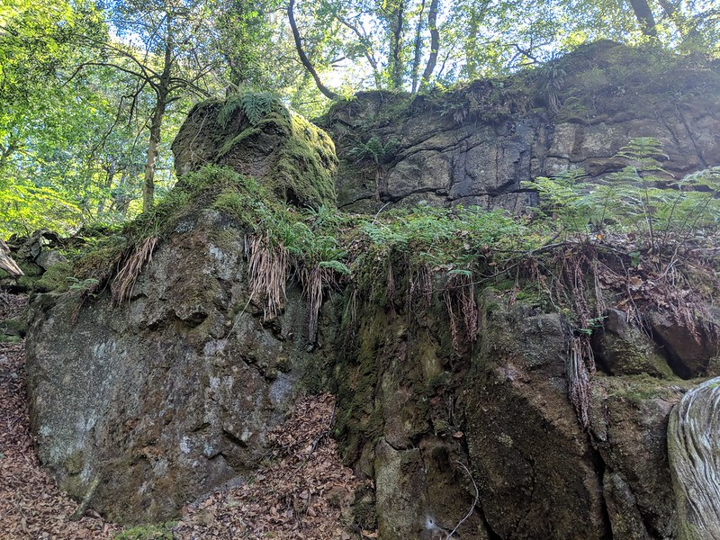 The edges of the high moor see river valleys steepen and mature as they plunge into the depths of woodland and progress alongside agricultural fields. On the brink of the South Moor, about 1 and a half miles to the north of Cornwood, lies Dendles Wood Nature Reserve, a place that flourishes in unique mosses and wildlife. The woodland is the site of the meeting place of the Combe Brook, Ford Brook and Broadall Lake that all discharge into the River Yealm. 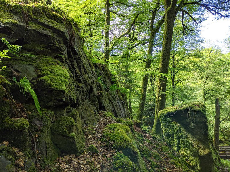 Towards the top northern end of Wood on the east bank of the fledgling river is a small emerging tor with an impressive rock face on the west side. Although it is comparatively close, by some 50 metres or so, to the picturesque Combe Crags it is sufficiently separate and distinct enough to warrant its own identity. Indeed, those crags tower above Combe Brook which is an entirely different watercourse that merges with the Yealm in a dell a short distance below. 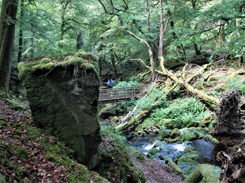 Dendles Tor is a non-granite rockpile that is best seen from the footbridge beneath where the rocks jut from the wooded bank above. Although from afar it does have a rather scruffy appearance at close quarters the rocks are more cohesive giving the impression of a much grander rock pile hidden under the woodland floor here. It is perhaps the tor's setting above the river that adds greatly to its appeal in this secluded spot. Discovered by Max Piper and Paul Rendell during their excursion to the area in 2019 the name of this tor, along with the other rockpiles in the Nature Reserve, has since been recorded in an article in Dartmoor News from March 2021. 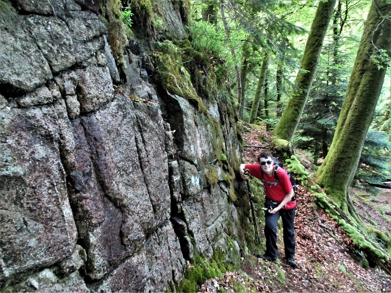 It was once thought that Dendles Wood could only be accessed through the adjacent Dendles Waste to the north-west or the open moorland below Stall Down to the north-east, however, there is a permissive path from the road bend at Hele Cross (SX 61315 61036) that enables much simpler access from the south; passing Higher (or North) Hele, it takes you to a gate and an information board that gives you facts about the biodiversity as well as a plan of the reserve denoting ownership boundaries. A good network of footpaths and tracks thread through Dendles Wood utilising sturdy footbridges, and when visiting the tor, it is encouraged that you take the track that runs alongside the Yealm's west bank, passing the confluence of Combe Brook and taking the footbridge shortly after where Dendles Tor will be seen across the rocky riverbed to the right. Please note that Dendles Tor lies within land owned by Natural England, and they politely ask that visitors contact their offices at Yarner Wood in advance to seek formal permission to access this reserve.
| ||||||||||||||||||||||||||||