TORS OF DARTMOOR
a database of both lesser- & well-known rocks and outcrops
Easdon TorEast Down Tor, Eastdon Tor 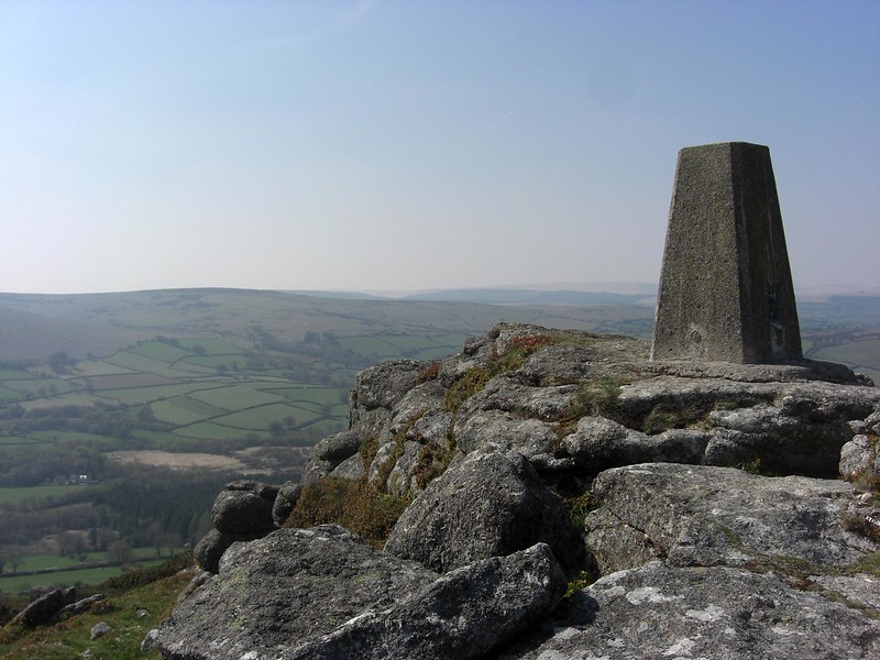 The island of open moorland that lies to the south of North Bovey and to the west of Manaton is crowned by the eminence of Easdon Tor, a rockpile that has weathered to such an extent that all that remains are broken, scruffy rock ridges on the hilltop. The highest is capped by an Ordnance Survey (OS) triangulation pillar, and at 439m is the highest point of the hill where the panorama can only be described as stupendous. The views embrace so much of North-East Dartmoor that it is difficult to take it all in, but the bulk of Hameldown to the immediate south-west is perhaps most striking, and the twin bosses of Hey Tor Rocks to the south-east. Beside the trig pillar on a slanted rock is an OS benchmark (cut arrow) that would have facilitated the surveyors of the 19th and 20th Centuries when mapping out Great Britain. 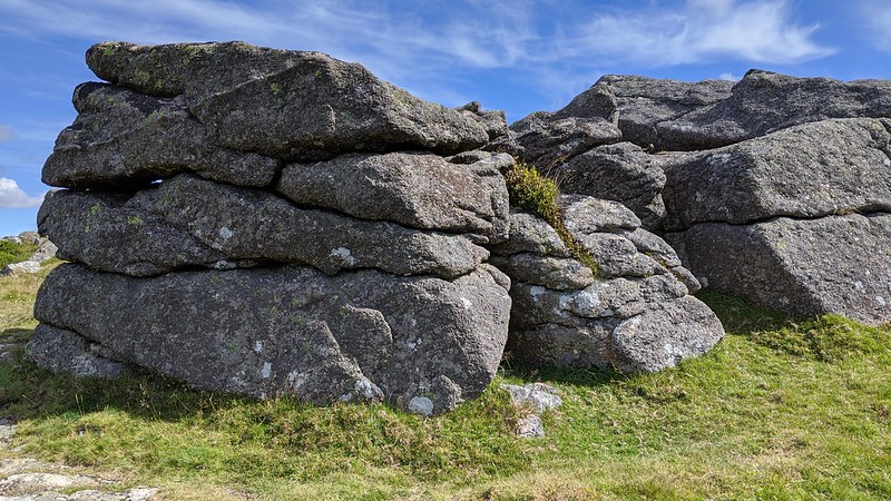 Rowe, in 'A Perambulation of Dartmoor' (originally published 1848, revised and enlarged 1896), also calls the tor East Down Tor or Eastdon Tor, but what exactly the hill is east of remains unclear. The author also states that "We shall be disappointed in our search for any antiquities on this eminence, although it is plentifully strewed with masses of natural rock." Rowe is most probably referring to the numerous other rockpiles on the Down, including Easdon South Tor and Figgie Daniel, which are far more impressive than the lowly rocks of Easdon Tor that Hemery (1983) describes as being "in an advanced state of ruin." 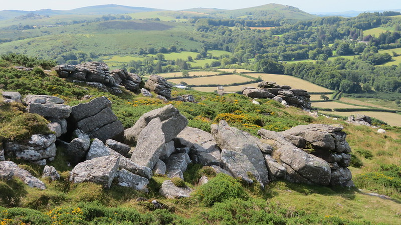 Perhaps the most well-known outcrop, however, is much closer to Easdon Tor itself, and known as the 'Whooping Rock', no more than 100 metres to the south. We learn from John Chudleigh the origins of that unusual name: "Near the summit of the Down is a rock marked on the Ordnance Map as a logan, but which my informant says does not and never did rock. It is called the Whooping Rock from the belief, so it is said, that children placed in the midst of a flock of sheep will be cured of whooping cough; this rock being a place where flocks congregated was a likely place of cure." More information about this curious pile can be found here. 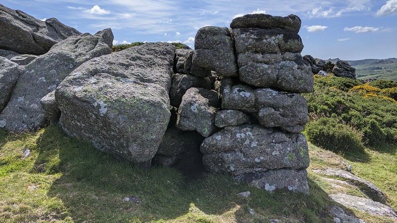 Although Easdon Tor is a dilapidated rockpile, it and other neighbouring tors make for an enjoyable exploration, particularly in winter when the bracken has receded and the terrain much easier to traverse off the main tracks. There are no less than 13 boundstones on Easdon Down, stretching from west to east, denoting the parish bounds of North Bovey and Manaton. They are small, often hard to find stones inscribed with a 'B' and the boundary passes to the north of the tor.
| ||||||||||||||||||||||||||||||