TORS OF DARTMOOR
a database of both lesser- & well-known rocks and outcrops
Hamlyn's Tor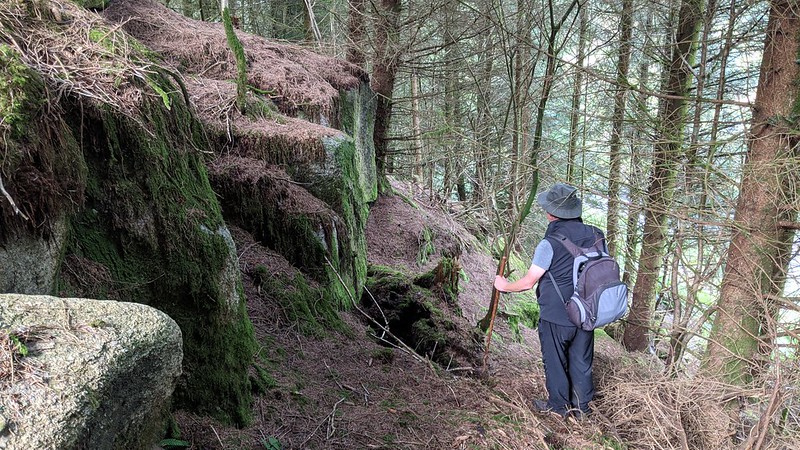 This small tor resides within a plot of land that is marked as 'Hamlyn's Close' on the Tithe Map of 1840, that name being linked to the Hamlyn family who occupied nearby Laughter (Lafter) Hole Farm from 1818 to 1835 before moving to Hexworthy. The tor here first came to people's attention when it was shown on a black and white postcard from c1913 (photo below © The Dartmoor Trust Archive) as set on the slope above the East Dart opposite the ruin of Snaily House. This old building is still marked by that name on current Ordnance Survey maps and in 1841 had 65-year-old agricultural labourer Edward Caunter and his housekeeper Elizabeth Kivel in residence but then under the name of 'Snail's House'. 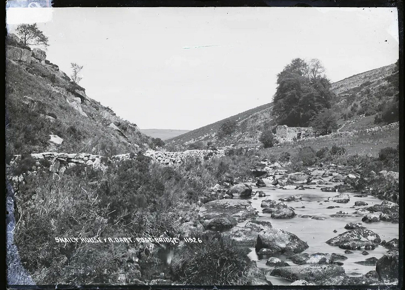 Sadly, since the time of the postcard depiction the rockpile has been lost to a proliferation of conifer trees and can only be seen at close quarters as it is completely hidden from view on all sides and the rocks are perpetually condemned to half light and darkness by the wood. It is a disappointing scene. That said it was rediscovered for a new generation of tor hunters by Dartmoor Guide Paul Rendell (PR) in 2020. The main upper rocks present as square faced blocks from below with a scattered yet sparse boulder field beneath that is deeply embedded in the soft pine needle floor that now conceals the depth of many rocks. 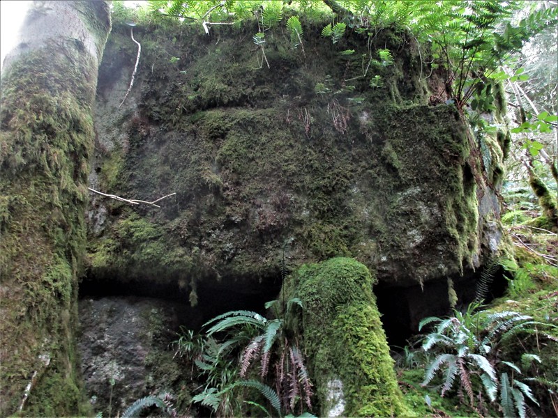 Little more than 50 metres from the river on its west side the tor's rather scruffy substance is mostly under branches although some parts are still discernible such as a tall rock to the north. Although it is set on land that is open to the public it is currently fenced off from the track above so access to the tor can only be achieved along the riverbank which makes it very difficult to reach. For further information PR has written an article about the tor and the surrounding area in an edition of Dartmoor News (see references). 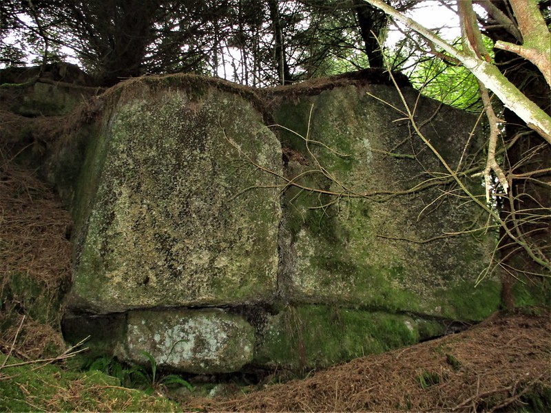
| ||||||||||||||||||||||||||||