TORS OF DARTMOOR
a database of both lesser- & well-known rocks and outcrops
Hartland Hill Rocks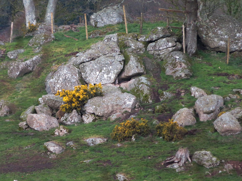 The Wray Valley of East Dartmoor is one of the most beautiful stretches of rural and cultivated country on Dartmoor, where a number of shadowy rockpiles are veiled by the trees in the woodlands above. There is, however, one shattered outcrop that is exposed on a lofty elevation above the A382 road to the immediate south of Wray Barton. 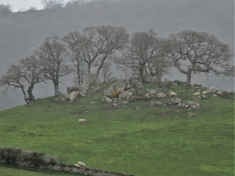 This field is labelled as 'Hartland Hill' in the Tithe Apportionments and overlooks the great sweep of Wray Cleave which is a dramatic scene in itself. On the top of the hill is a rather lowly gathering of rocks where a few trees have taken refuge, with scattered clitter spreading downhill to the east. While wholly set on private land the rocks here are easily visible from the lane that climbs to Barne Cross from Wray Barton and have a distinctive appearance. 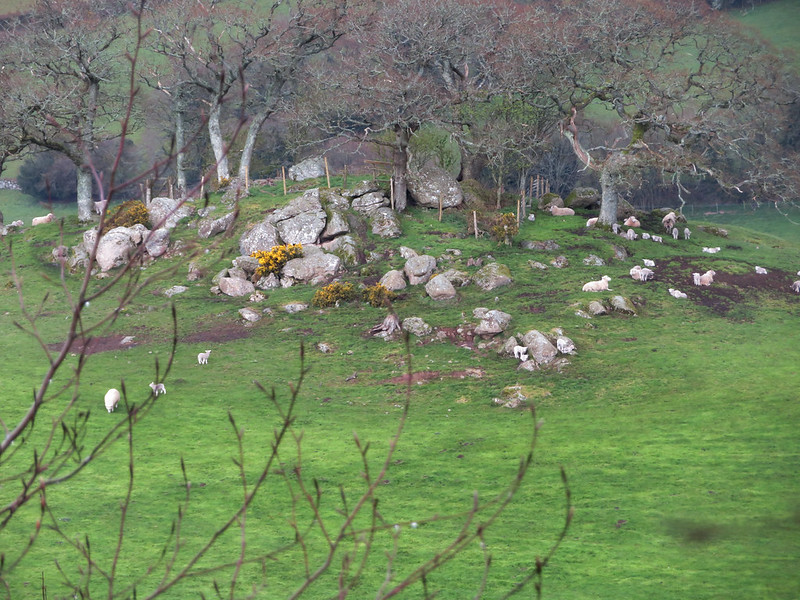 Dr. Tim Harrod (2017), in his meticulous soil survey of the Moretonhampstead and Chagford area, not only shows a photograph of the rocks on the knoll but explains that this spur-end hill "shows an abrupt reversal of gradient, most probably indicating variable decomposition of the granite. Features like this, perhaps an incipient tor, are common on some of the in-bye." 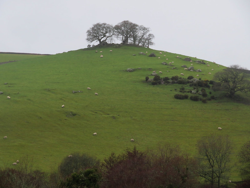 The rounded projection of Hartland Hill is quite unusual in this location as it breaks the otherwise uninterrupted steep cleave-sides of the Wray Valley. The valley itself is part of the Sticklepath Fault that runs parallel through Lustleigh Cleave to the south and west. This fault, named after the village of Sticklepath near Okehampton through which it passes, runs south-east to north-west, from Torquay up to Bideford Bay. It is thought to have formed in the early Tertiary Period (c.65-50 million years ago) and is a wrench or tear fault, very similar to, but much smaller than, the San Andreas Fault in the United States. This means that it is a strike/slip movement where rock grinds past each other in opposite directions and is thought to have been caused by pressures of the spreading of the Mid Atlantic Ridge on the divergent tectonic plate boundaries of the North American and Eurasian Plates. In addition to being responsible for the ball clay deposits at Kingsteignton and Petrockstowe, the fault has carved through the Dartmoor granite with a total displacement that is estimated to be up to 10 kilometres.
| ||||||||||||||||||||||||||||