TORS OF DARTMOOR
a database of both lesser- & well-known rocks and outcrops
Higher Combe Rocks North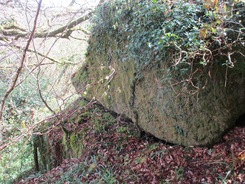 Higher Combe is a stretch of woodland that lies to the west of the A382 between Lustleigh and Moretonhampstead roughly a mile from the former and two from the latter. There are hidden within the trees numerous scattered rocks and boulders that in places are sufficiently large enough to warrant small tor status. Towards the northern end of the wood and not far above the Wray Valley Trail (the old Bovey Tracey to Moretonhampstead railbed) at SX 7780 8274 is a cluster of at least three large rocks that have toppled onto one another in such a fashion that they have created a small cave beneath. 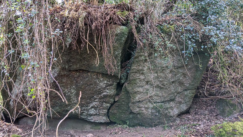 It is quite an impressive feature and higher up the slope through rather scrappy land that is covered in low briars at SX 7775 8272 is another large vegetation covered outcrop this with a weathered and split face on the east side. Another small stack of rock lies nearby this set above and close to an old boundary wall. 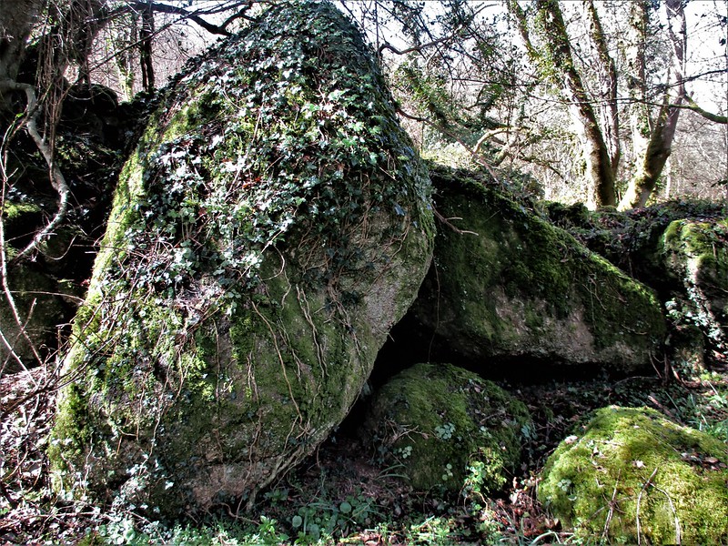 When looking at the OS map of the area a granite cross is indicated at approximately SX 777825. This is known as either Higher Combe Cross or Cross Park Cross on account of the latter being the name of the field in which it stands. According to the Dartmoor Crosses website this is not likely to be its original position as it is thought to have once acted as a wayside cross. We learn from Harry Starkey that the cross was moved in 1860 from a nearby bank to its current position apparently by a Mr Amery the then farmer at Higher Combe who set it on a large granite boulder securing it in place with four iron clamps. 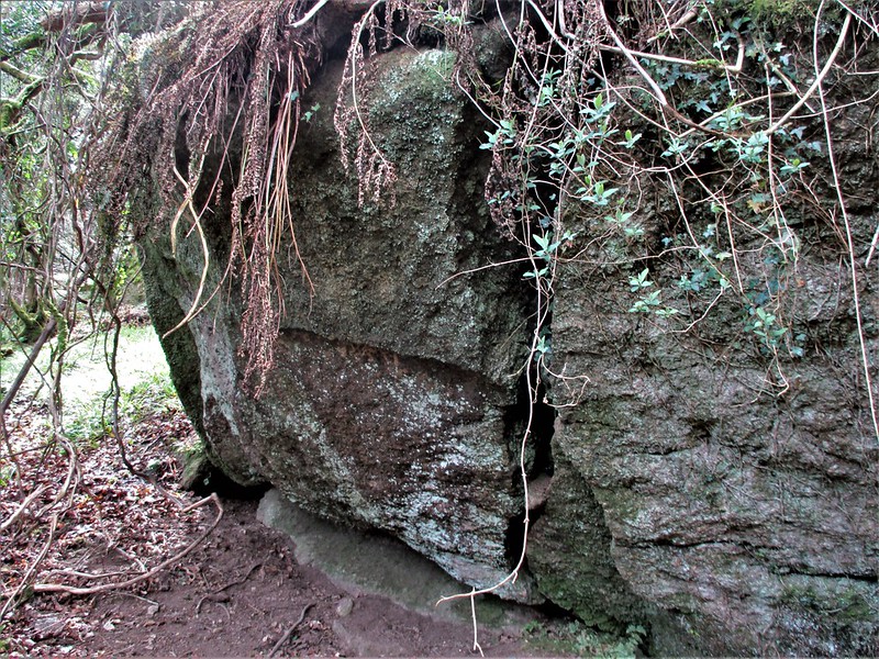 Walking along the slopes here can be a challenge as they are quite steep and low branches can impede progress, so care needs to be taken and be warned that both the rocks and the granite cross do reside on private land so permission to roam must be respectfully sought from the landowner.
| ||||||||||||||||||||||||||||