TORS OF DARTMOOR
a database of both lesser- & well-known rocks and outcrops
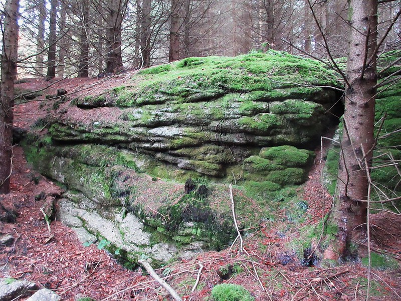
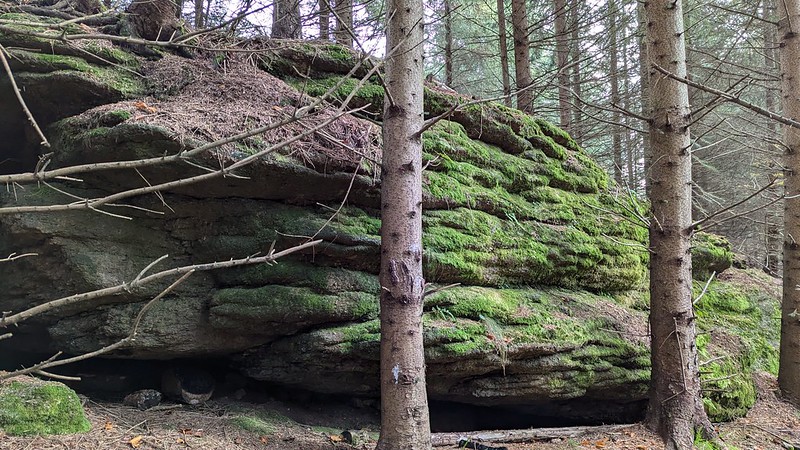
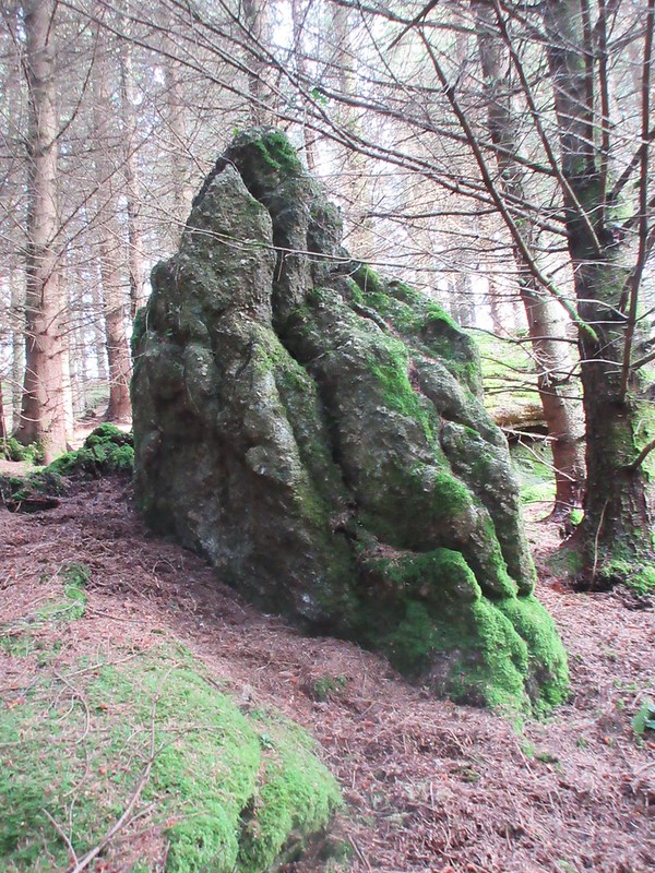
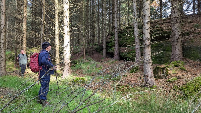
Higher Trenchford Tor Dartmoor Guide and local historian Paul Rendell has been out and about exploring again, and this time he stumbled across a pretty impressive ridge of low granite outcrops to the north-west of Trenchford Reservoir. Set about 100 metres above Trenchford Stream and a forestry track, there are no less than five main outcrops in total and they constitute a fine group.  The north pile (SX 79958 83314) is a significant mossy outcrop with notable horizontal jointing or lamellar bedding, a characteristic that is ubiquitous in this particular area of East Dartmoor. The rock is also adorned by pennywort, ivy and is interspersed by ferns that are sprouting from the cracks. Just above is the summit rock (SX 80008 83301) which is a somewhat meagre pile but it is nonetheless carpeted by lush green moss in a brighter area of the plantation.  Heading south one comes to a further series of broken granite (SX 80015 83256 and SX 80015 83256) and these, once more, perfectly illustrate lamellar bedding. The emergent rocks here seem to edge out of the incline of the hill, which at this point from the spur of the hill becomes much steeper. Just below is a conspicuous 'needle' of granite (SX 80006 83224) that is curiously pointing towards the sky. The rocks are situated on a very similar contour to Little Trenchford Tor and Trenchford Tor which both lie to the south-east and closer to the aforementioned reservoir.  Termed 'Higher Trenchford Tor' due to the outcrops' collective position above the same named stream, the rocks here should be visited with prior permission as they are on private land. Plagued by perpetual twilight, the dark and gloomy atmosphere in the trees can be quite oppressive at times, coupled by the unstable terrain, so you must take extreme caution when traversing the slopes.
| ||||||||||||||||||||||||||||