TORS OF DARTMOOR
a database of both lesser- & well-known rocks and outcrops
Hisley Wood Tor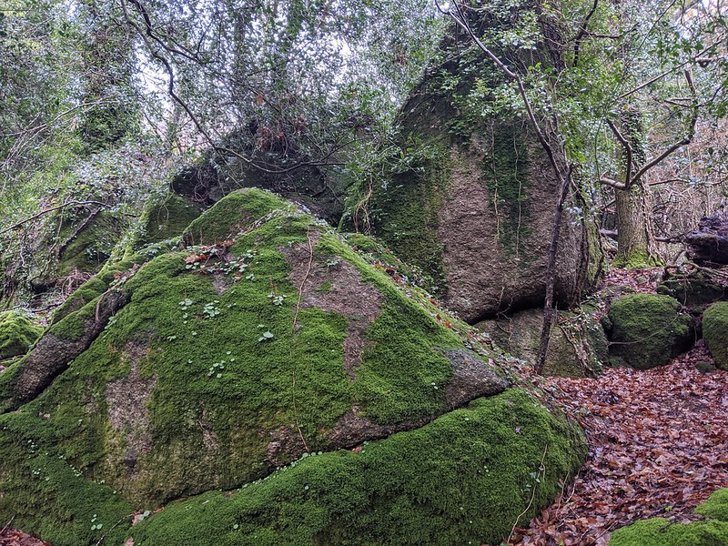 In recent years, the area in and around Hisley Wood on the far eastern side of Dartmoor has become very popular with ramblers thanks to various walking websites describing routes that encourage visitors to enjoy the scenery and follow a network of tracks that lead up into the villages of Lustleigh and Manaton. Despite the increase in footfall there remains a small little-known tor hidden high on the wooded slopes. 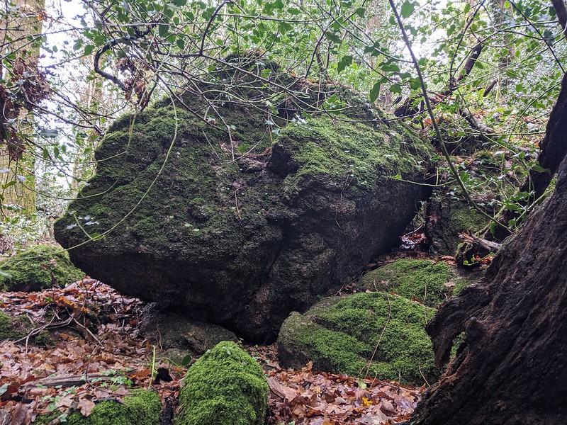 There are a few ways to reach the tor, but the most convenient routes involve walking in from either the car parks at Trendlebere or Pullabrook Wood to reach the old packhorse bridge over the River Bovey at SX 780800 that is known locally as Hisley Bridge. It is then necessary to cross this and head north westward, along the main path towards Heaven's Gate in the direction of Lustleigh. The path then twists its way up the slope in a deviation that is surprisingly not shown on OS maps and at the second major bend nearing the top a short diversion is needed to the south (right) where within a few strides some dark and moss-covered boulders start to emerge. Most notable are three very unusual and huge pyramidal type rocks with a short avenue between that herald the start of a ruined rock pile here spilling through the trees. Several large and strangely shaped boulders are embedded in the steep slope. 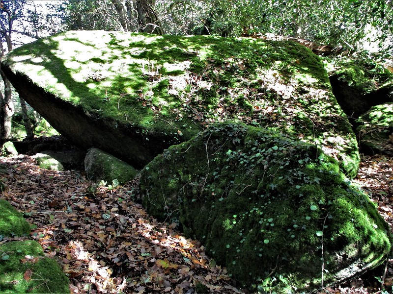 As with many of the rockpiles in the vicinity of the aforementioned villages, the substance of the tor is shrouded in trees and vegetation with the main rocks draped in fern, holly and ivy giving them a somewhat scruffy appearance in the half light of the wood. Were the area devoid of trees today, the small tor would form a striking landmark high above the now ruined farmstead of Boveycombe. Having gone unnoticed for decades Tim Jenkinson stumbled across the lost tor in November 2020. 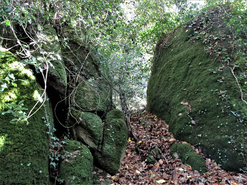
| ||||||||||||||||||||||||||||