TORS OF DARTMOOR
a database of both lesser- & well-known rocks and outcrops
Kitt's HoleKitt's Steps, Skit Steps, Skit's Hole
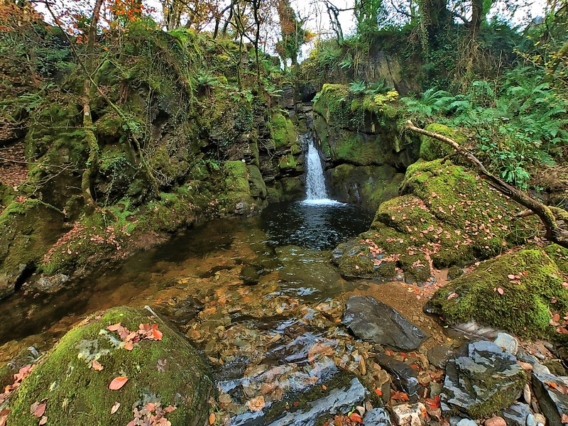
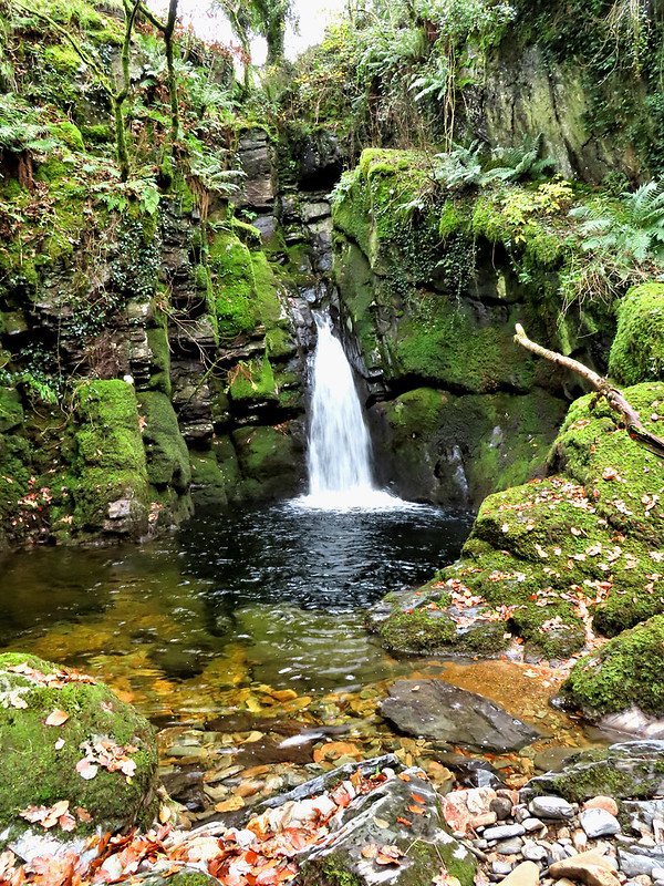
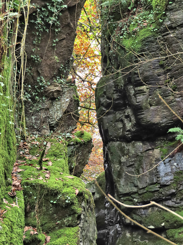
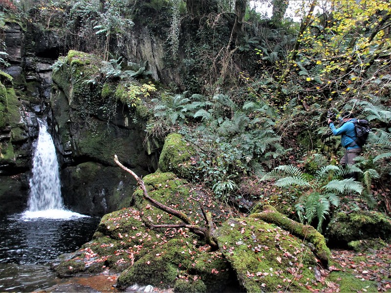
 Anna Eliza Bray, in her book 'Legends, Superstitions and Sketches of Devonshire Volume II', affords three pages to describe Kitt's Steps, or Kitt's Hole, which suggests that this 'cataract' on the River Lyd is significant enough to warrant mention here. Hidden some half a mile east of Lydford and west of Kitt's Bridge and the A386, it was also included on early Ordnance Survey maps, together with 'Kitt's Mine' to its south, but later removed and the land is no longer accessible to the public without permission.  Crossing mentions 'Skit Steps' in his book 'Gems in a Granite Setting' and includes a picture of the splendid waterfall, but he fails to describe them. It is the earlier writing of Bray we turn to, going into some detail about the rocks here, concentrating mainly on the upper section; "In order to form a correct idea of this cascade, it will be necessary to take a view from the top. The rock appears, by some convulsion of nature, to be split into two fissures, through only one of which the water flowed till lately, part of it being now carried through the other for the purpose of working the mine... From the centre mass, which is about twenty feet high, two or three large pieces of rock, as may be seen from the incumbent part, have fallen into the fissure, and have entirely covered it..."  Bray continues; "The chasm or fissure, through which the river begins to fall, at the depth of about five and twenty feet, is about ten across... Viewed from below, the water seems in the centre of the chasm to rush from beneath a rock, which no doubt occasioned it to be called Kitt's Hole. After three or four obstructions in its course, it leaps over a ledge of rock in a perpendicular fall, but not more than twelve or fourteen feet in height, whilst the water in the basin below is about eleven feet deep."  Sadly, Kitt's Hole, with its magnificent waterfall, can no longer be accessed and we must content ourselves with Mrs. Bray's account. If you do wish to visit please seek landowner permission. Despite its disappearance from the maps, the name 'Kitt' is still prevalent in the area, with a cottage and bridge bearing that name. Bray offers up as a possible source; a woman called Catherine, or Kitty, who drowned here when the river was swollen by heavy rain. This would have been before the building of Kitt's Bridge when the byway crossed the river on a straighter course at a more precarious place. Evidence of the old road can still be seen today from the milestone to the south where there is an obvious track descending to a ford and continuing up the other bank to where Kitt's Cottage now stands. In addition, a faint trace of the route going through a field north of Skitt Lane to meet up with the A386 can be seen on satellite images.
| ||||||||||||||||||||||||||||