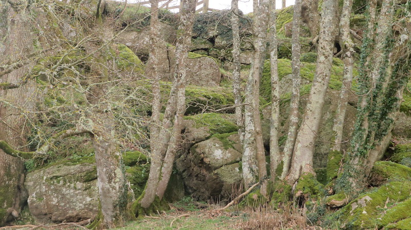
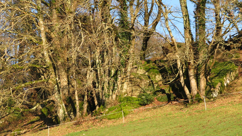
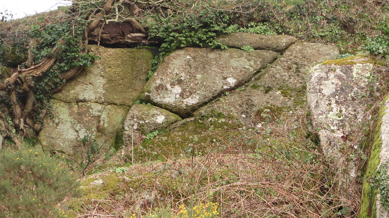
With the walker so focused on the idyllic Wray Brook, the rocks above can easily be overlooked. They are a substantial collection of small, jointed granite boulders and outcrops straddling the hill slope. The trees obscure the true size of this ruined tor, but the area of which it covers is surely enough of a reason to get it mentioned.
Once spotted from the path below, they are obvious, yet no name seems to be attached to them until Max Piper first gave them recognition in a blog post in 2018.
The name of 'Milland Rocks' has been afforded since the surrounding plots are named as such on Tithe Maps.
Milland Rocks
The map above is not a navigation tool and we recommend that the grid reference shown below is used in conjunction with an Ordnance Survey map and that training in its use with a compass is advised.
We are proud to see the names of lesser-known tors are now being used more commonly on other websites and whilst this is to be encouraged we do request that, should you wish to use the information on this page, you provide a backlink to the website as reference, by copying the relevant address:
Please also consider a small donation to the upkeep of the site; any contribution goes toward the fees to keep the database online and any costs incurred when undertaking research such as subscriptions to online archives.