TORS OF DARTMOOR
a database of both lesser- & well-known rocks and outcrops
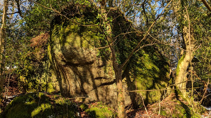
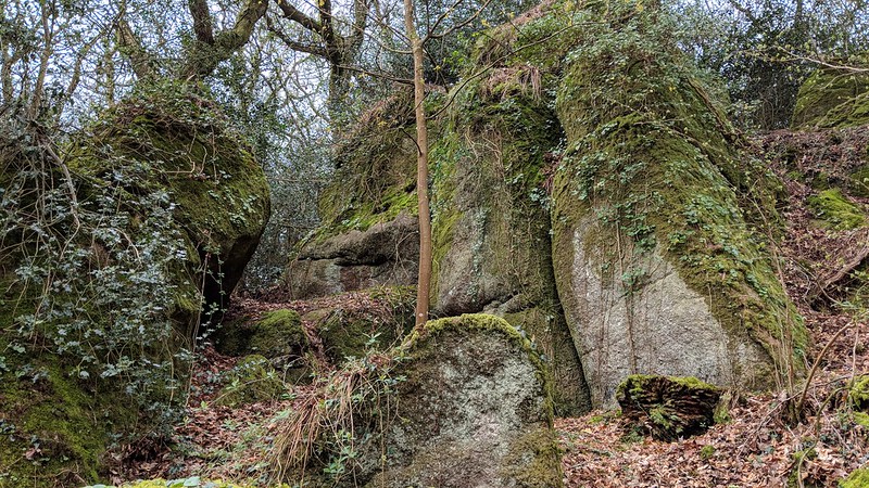
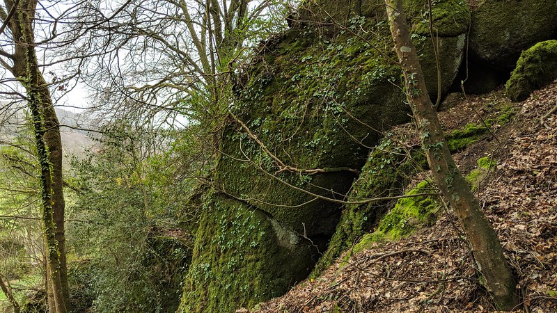
Slade Copse Tor This is just part of the huge, shrouded and sprawling tor that resides to the north-west of Slade Cross and the A382 road between Bovey Tracey and Moretonhampstead. Glimpses of the tor's southern outcrops in the trees above Slade Acre at SX 7980 8110 can be had in winter months when the vegetation has died back, and from the A382 more rocks can be seen much further down the hill towards Lustleigh in a northerly direction. Tim Jenkinson was drawn to the existence of a magnificent rockpile here by Dr. Tim Harrod in his letter of February 2011, and subsequent surveys have revealed a truly long-lost rockpile.  Residing in Slade Copse, it is hard to grasp the entirety of the spread of granite that we are dealing with, especially as all of it sadly resides on private land shielded from public view by the canopy of trees across the field. But, fortunately, it is the southernmost outcrops' proximity to the lane between Slade Cross and Hatherleigh Farm that gives us an indication of the magnitude of the stacks. A boulder, precariously situated on the edge of the lane, and no doubt scratched by large vehicles as they pass, sits below an impressive tower of rock that is partially visible from Slade Acre. The granite masses continue further into the trees, but the avenue created at the columns gives us a reminder of the large though well-hidden tors on East Dartmoor, so close to well-known places yet seldom remarked upon in the extensive literature of Dartmoor.  Slade Cross, a short way to the east, is not without interest. Here lies a boundary stone inscribed L, B and M for Lustleigh, Bovey Tracey and Moretonhampstead parishes respectively. Further down the road, there can be seen a milestone that was rediscovered and resurrected by Alan Rosevear of the Milestone Society in October 2012. The landscape viewed from Slade Cross opens up into a dramatic wooded valley where the Wray Brook flows through, and it is perhaps at this point where we enter the truly hidden landscape of East Dartmoor with every woodland boasting an outcrop of some kind, the tor in Slade Copse being just one of them. 
| ||||||||||||||||||||||||||||