TORS OF DARTMOOR
a database of both lesser- & well-known rocks and outcrops
Steward Wood Tor
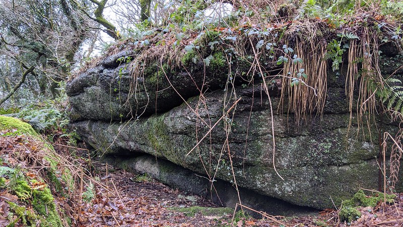 The current editor of Dartmoor Magazine Sue Viccars lives in one of the cottages below Steward Wood near Moretonhampstead and she provides us with the following information in a blog that was posted April 2020 and attributed to a former neighbour of hers Carol Sandiford from c2005: "Steward Wood is thirty-four acres of mixed woodland lying at the head of the steep sided Wray valley on Dartmoor. In summer viewed from below it's a tapestry of varied greens, with conifers and deciduous trees creating a rich blend. Beneath the canopy of the trees, there are bluebells, foxgloves, spurge, alkanet and the buzzards wheel and mew overhead. In winter, the paths can turn to streams, miniature white waters rafting the autumn's leaves rapidly down the slopes and periodically trees fall in the high winds." 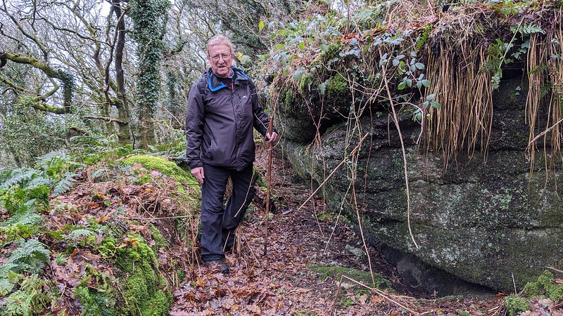 However, be warned that this is private land although permission to roam can be sought from the landowner. Ascending the slope in an easterly direction and nearing the top of the wood granite boulders start to emerge and almost at the highest point there is a striking elongated but low vegetation covered outcrop which with another forms a narrow avenue between. This is the remnant of a small tor here one that is now enshrouded in trees and is the point where the Ordnance Survey show the name of Steward Wood on their maps. 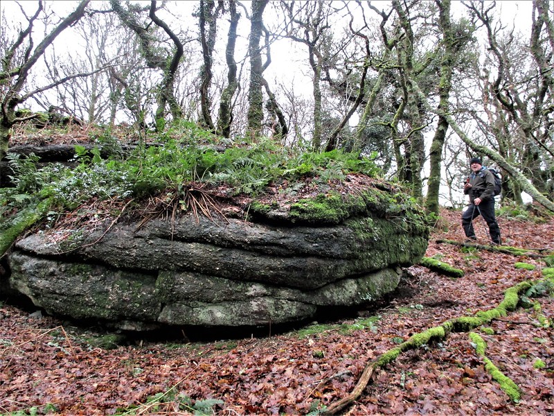 In recent times the area below and closer to the road (A382) has been occupied by a Community Group initiating a project that is summed up by Sandiford: "As for the woods themselves they passed through many hands until in 2000 they were bought by the Steward Woodland community, intending to set up an experiment in sustainable living and for the first time in over a hundred years the woods are inhabited again". But by March 2016 the attitude to the project was starting to change and this was reported in the Guardian: "A community of green-minded co-operative workers are facing eviction from their hillside home after planners on the DNPA decided they were not welcome. The planners ruled that Steward Community Woodland, which was established at the turn of the century within a conifer plantation, had a harmful impact on the character and appearance of the Devon park - and on rare wildlife including bats, dormice, and otters (although there is no viable otter habitat within the community and the woodlanders insist, they have hugely improved biodiversity on their 32-acre plot)." Regardless of the politics involved, the site is now abandoned set up with good intentions at the start of the 21st Century but now left with some disappointing human detritus scattered on the slopes. The tor itself is set high above this former woodland settlement. 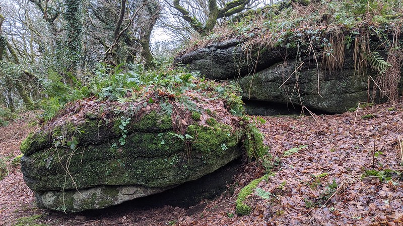
| ||||||||||||||||||||||||||||||