TORS OF DARTMOOR
a database of both lesser- & well-known rocks and outcrops
Stinnons Hill RocksStennen Hill Rocks
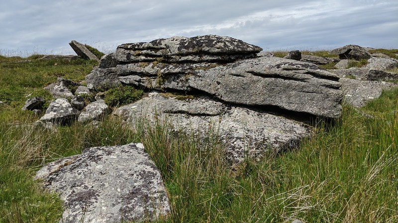
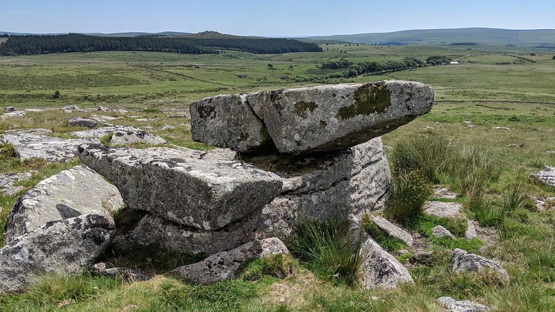
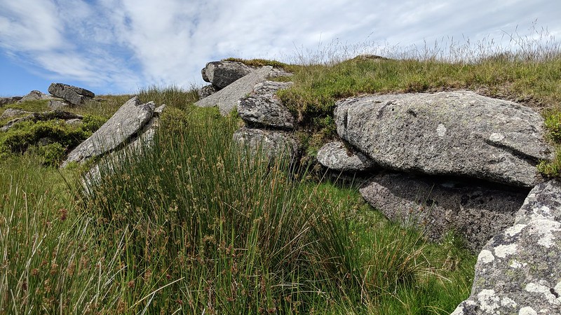
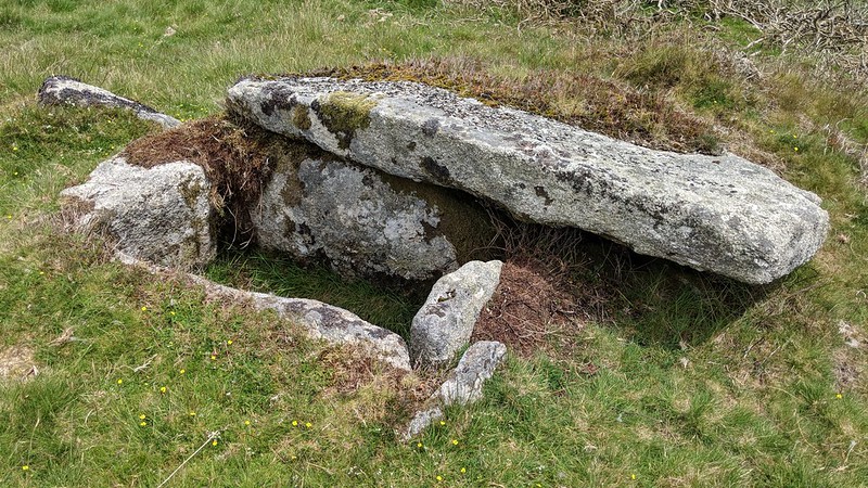
 Situated to the south-east of Higher White Tor, on Stinnons Hill, there is an extensive rock field housing several low outcrops, slabs and boulders which were first described by Eric Hemery in High Dartmoor p.435; "On Stinnons Hill (the high west valley side under Longaford Tor) there are two hunting-gates in the newtake wall, and between them a considerable rock-field, the south wall of Stinnons Newtake, and the source mire of a right-bank feeder of Cherry Brook. East of the rock-field, on the south-east fringe of which is a small logan-stone, and on the lower side of Stinnons Hill, are two kistvaens. One is a good specimen with the lower cover-stone moved aside, and a retaining-circle of stones set on the edge in the manner of a kerb."  The logan stone, featuring a small crack on its north side, is actually on the south-west side of the hill at SX 62311 77991, and has a pleasing logging movement. The rocks on Stinnons Hill are not in the form of clitter such as nearby Withy Tree Clitters, but rather present as a flattened ruined tor whose clitter suggests it was once a much grander sight than it is today. It would seem that the name of 'Stennen Hill' has also been used to describe the hill, which makes sense as it translates to 'stony'.  Whilst Hemery refers to the two cists, there is also a conspicuous ruined building with an 'L' shaped extension a mere 50 metres or so south of the rocks. Jeremy Butler tells us "The shell of a deserted farmhouse and byre straddles the wall of the upper enclosure, a feeble structure of mainly a single line of slabs set in a low bank." East of here, near the north cist at SX 62570 77899, there is a tiny dilapidated stone circle shown on old OS Maps which, after recent swaling, has become easier to view at SX 62568 77879. However, Heritage Gateway list it as a cairn or hut circle which seems more plausible given its location. Access to the area can be achieved from the south-east side, first passing over a wooden stile in a fence and fording the Cherry Brook after leaving the Lich Way east of Powdermills. 
Please Support UsWe are proud to see the names of lesser-known tors are now being used more commonly on other websites and whilst this is to be encouraged we do request that, should you wish to use the information on this page, you provide a backlink to the website as reference, by copying the relevant address: https://www.torsofdartmoor.co.uk/tor-page.php?tor=stinnons-hill-rocks Please also consider a small donation to the upkeep of the site; any contribution goes toward the fees to keep the database online and any costs incurred when undertaking research such as subscriptions to online archives. | ||||||||||||||||||||||||||||