TORS OF DARTMOOR
a database of both lesser- & well-known rocks and outcrops
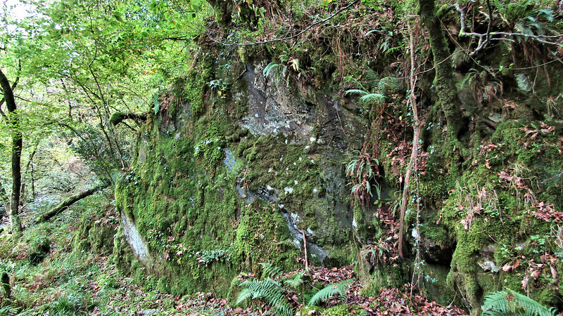
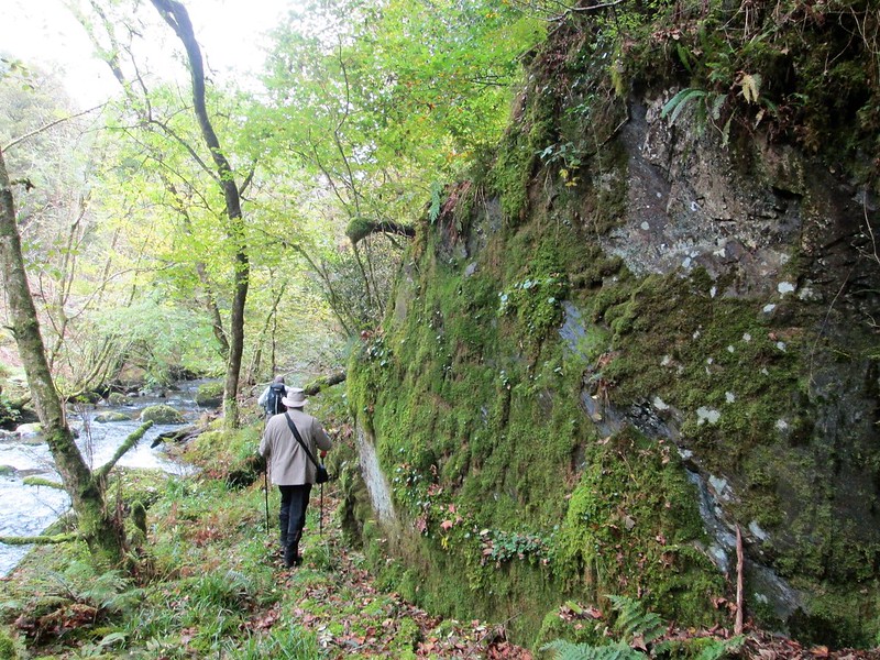
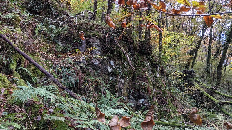
Webburn Rock Blackadon Down is home to numerous outcrops and boulders that are seemingly flung about the hillside which culminate in distinct stacks throughout the densely wooded landscape. What is interesting about the area is that the geology changes, with the western portion of the Down being composed of granite and the east metamorphic, the boundary of which cuts right through the valley near Lizwell Meet. It is this change in geology that has resulted in some interesting characteristics of the rockpiles on the slopes.  Just downstream from Lizwell Meet, where the West and East Webburn Rivers combine to form the 'River Webburn', a large, slightly rounded rock can be seen above the right-hand bank where a path squeezes through the gap. The outcrop takes on a bluish grey hue in certain light and like other rocks in the vicinity extends uphill, where scruffy crags protrude from the precarious incline, topped with trees and vegetation.  When at the Rock your attention is distracted by the aforementioned river, whose beauty is unparallelled in the region other than that of Dart, and it was its stunning surroundings that led William Crossing to wax-lyrical about its place in the valley: "Through the openings in the foliage, when a summer sun is in the sky, the rays dart upon the rippling stream, singing a plaintive air to the wild flowers that begem its banks, and patches of golden light are scattered upon the mossy ground. Though deep the solitude it is not oppressive, for companionship is not altogether lacking. In the pool is the wary trout, motionless save for an almost imperceptible movement of the tail; over the surface of the stream the gaudy dragon fly is flitting; and on the bough is the bird pouring forth her sweet notes in friendly rivalry with the tiny cascades. Yet amid this fair scene the waters must not linger; they go to meet the Dart which has been calling to them for ages."  Webburn Rock is at the bottom of Blackadon Down and the only way to reach it is to descend from the top of the Down, but this can be potentially treacherous because the terrain is overgrown in parts and loose, with few obvious paths to follow. The river can also swell after prolonged rainfall that could make walking through the area impossible. That said, from Lizwell Meet, a pleasant if occasionally boggy path threads its way between trees to follow the Webburn downstream to pass beneath Webburn Rock, and it is a splendid way to appreciate the scene on a dry day. The Rock was given the name by Paul Buck during his pioneering exploration of the area in October 2017, and it seems a most appropriate appellation.
| ||||||||||||||||||||||||||||