TORS OF DARTMOOR
a database of both lesser- & well-known rocks and outcrops
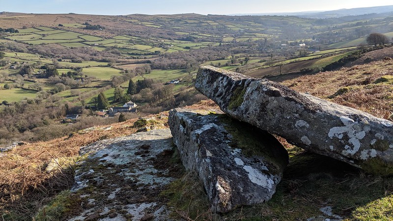
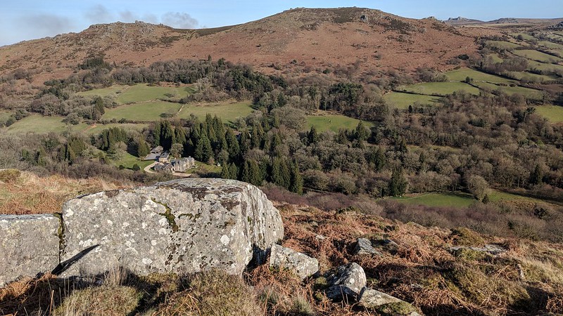
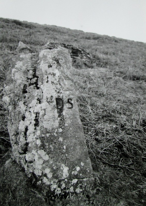
Wooder Rocks Wooder Rocks are mentioned by Eric Hemery (1983 p649) in his account of East Webburn Country but he inexplicably places them on the north-west shoulder of Old House Hill where there is nothing but heather clad slopes. Later this descriptive error leads Mike Brown to provide an erroneous grid reference (GR) of SX 712789 for the rocks. It is not until Tim Jenkinson writing in 1999 that we gain some idea as to where the rocks might actually be. He explains "From the summit of Wooder Goyle the uppermost edge of the scattered clitter of Wooder Rocks at approximately SX 7160 7818 is just visible."  He goes on "Wooder Rocks cover a considerable area as can be seen from Chinkwell Tor to the east and contain within them many sizeable boulders and small outcrops that are indicative of a broken tor. This flank of the hill is choked with bracken in the summer months, thereby necessitating visits in late autumn, winter or early spring to enjoy both the Goyle and Rocks of Wooder."  Recent visits to the area have confirmed a wide spreading rock field here with magnificent views to the east. Well to the north of Wooder Rocks stands the boundary stone known as the Long Knave (SX 7175 7860) which is one of a series of the Duke of Somerset's markers that can be found across Hameldown. It is inscribed 'DS' on the eastern face. 
| ||||||||||||||||||||||||||||