TORS OF DARTMOOR
a database of both lesser- & well-known rocks and outcrops
Tavy Hole
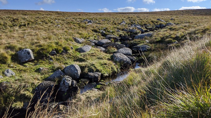 Located deep within the interior of the North Moor, where the River Tavy makes its first leap, is Tavy Hole, summarised by Hayward (1991): "This defile is the first picturesque stretch of the river. Between the Head and the Hole, the Tavy first runs south, then swings west through a wide shallow basin, and finally turns north to tumble down among the boulders in this narrow valley." It is surprising to note that both Crossing and Hemery - two of Dartmoor's best-known writers - devote little description in their respective works to the Hole, which is an extreme oversight. A 'Hole' on Dartmoor is a valley, typically a small, deep one. 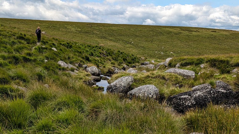 This is wild, open country, Tavy Hole being situated off the beaten track. Its seclusion, which is amplified by its setting within the infant upper Tavy valley and largely sheltered from the exposed hills, means that few ramblers pass through here, its remoteness only attracting the occasional Dartmoor Letterboxer in search of stamps to add to their collection. 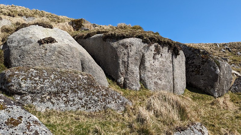 The beholder approaching the Hole from above, following the river down, will be impressed, for the character of the valley is resplendent: the valley sides rapidly narrow as the river plunges from distant view and the water laps the lichen-covered boulders. The sense of exclusivity is profound, and the panorama opening up to the north, as the river makes its northward turn, is breathtaking; a fantastic moorscape that is dominated by Great Links Tor, Amicombe Hill, the nook of Broad Amicombe, and Great Kneeset. Also aloof, standing sentinel to the north-east, is Fur Tor, its dark grey rocks casting a stark backdrop against the perpetual moor grass. 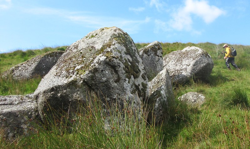 Continuing your journey through the declivity, the river splits and wraps itself around an island, with further clusters of boulders peppered in the riverbed where the water occasionally disappears beneath. Overlooking this is a conspicuous turf-topped boulder with a tethering ring, probably used by moormen to tether their animals. A small rockpile (SX 57948 82060) resides just above the west bank, while downstream from here it is the east bank where you can observe an almost unbroken line of turf-topped rocks and clitter, just below the fen plateau. The river leaves the Hole and becomes more voluminous as it receives Fur Tor Brook on the east bank, opposite which is another small, emerging pile (SX 57824 82486). A well-trodden path fords the River Tavy near here and passes the lonely, unmarked Tavy Hole Stone (SX 57698 82619), an ancient guide stone that in the present day remains a useful landmark for the rambler exploring the area. There is no doubt that Tavy Hole is a hidden gem, seldom visited but suited for quiet contemplation; an indelible spot.
| ||||||||||||||||||||||||||||||